Wetlands

Wetlands receive very little respect in literature.  J.R.R. Tolkien, in particular, seems to have had low regard for them.

“The ground now became damp, and in places boggy, and here and there they came upon pools, and wide stretches of reeds and rushes filled with the warbling of little hidden birds.  They had to pick their way carefully to keep both dry-footed and on their proper course.  At first they made fair progress, but as they went on, their passage became slower and more dangerous.  The marshes were bewildering and treacherous, and there was no permanent trail even for Rangers to find through their shifting quagmires.  The flies began to torment them, and the air was full of clouds of tiny midges that crept up their sleeves and breeches and into their hair….  They spent a miserable day in this lonely and unpleasant country.  Their camping-place was damp, cold, and uncomfortable; and the biting insects would not let them sleep.  There were also abominable creatures haunting the reeds and tussocks that from the sound of them were evil relatives of the cricket.  There were thousands of them, and they squeaked all round, neek-breek, breek-neek, unceasingly all the night, until the hobbits were nearly frantic.” — The Fellowship of the Ring.

Tolkien later takes Frodo, Sam, and Gollum into the Dead Marshes, an even more unpleasant place by his description — where bog gasses flicker like will-o-wisps and corpses lie preserved in fetid pools.

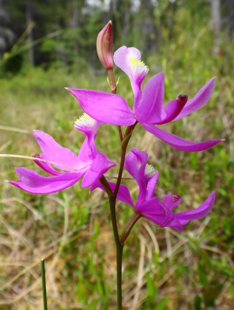
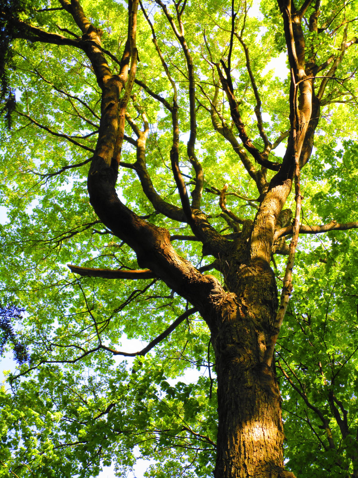
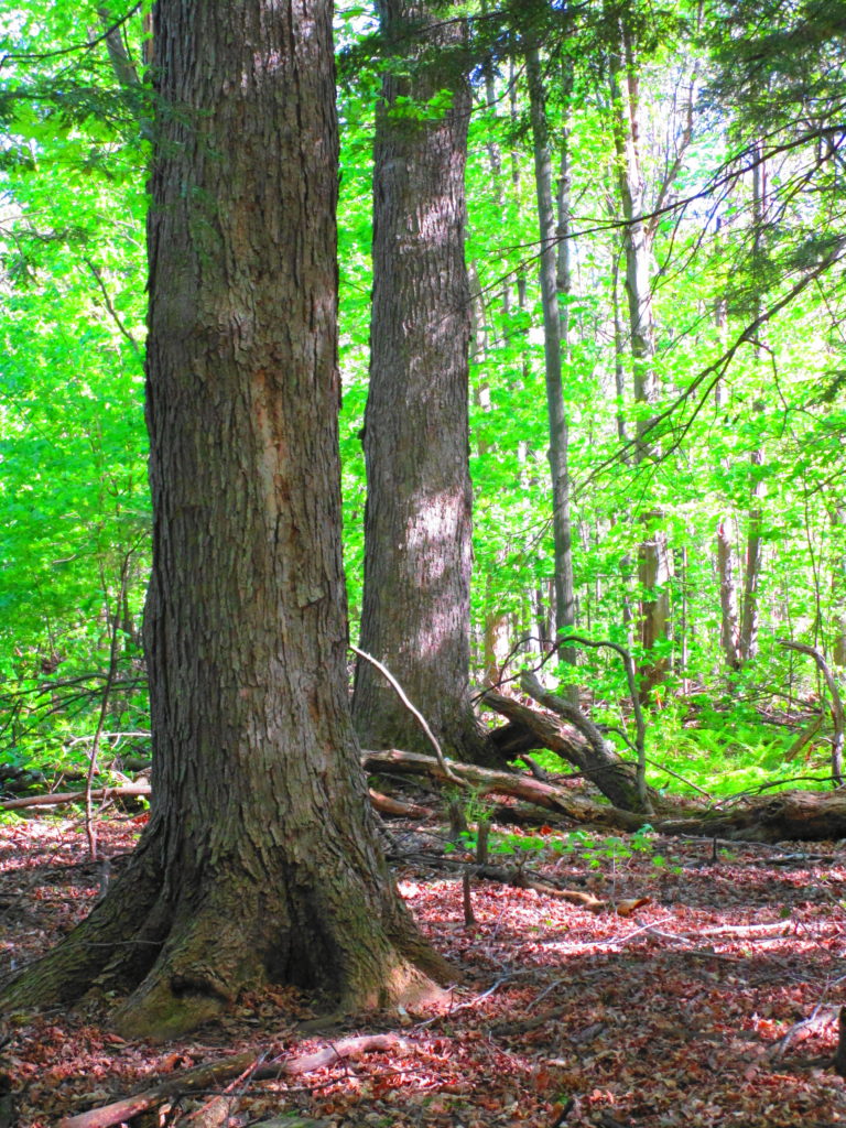
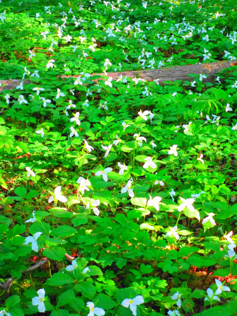
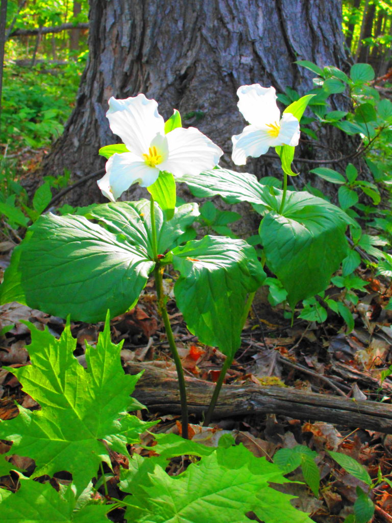
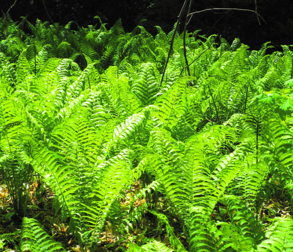
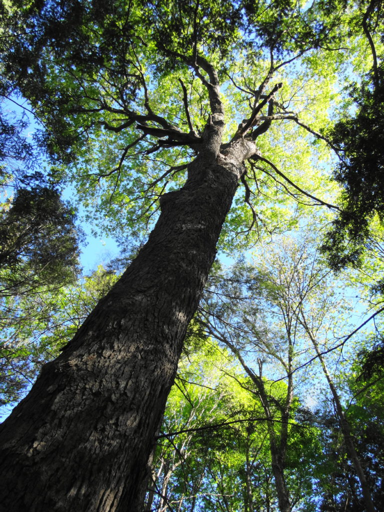
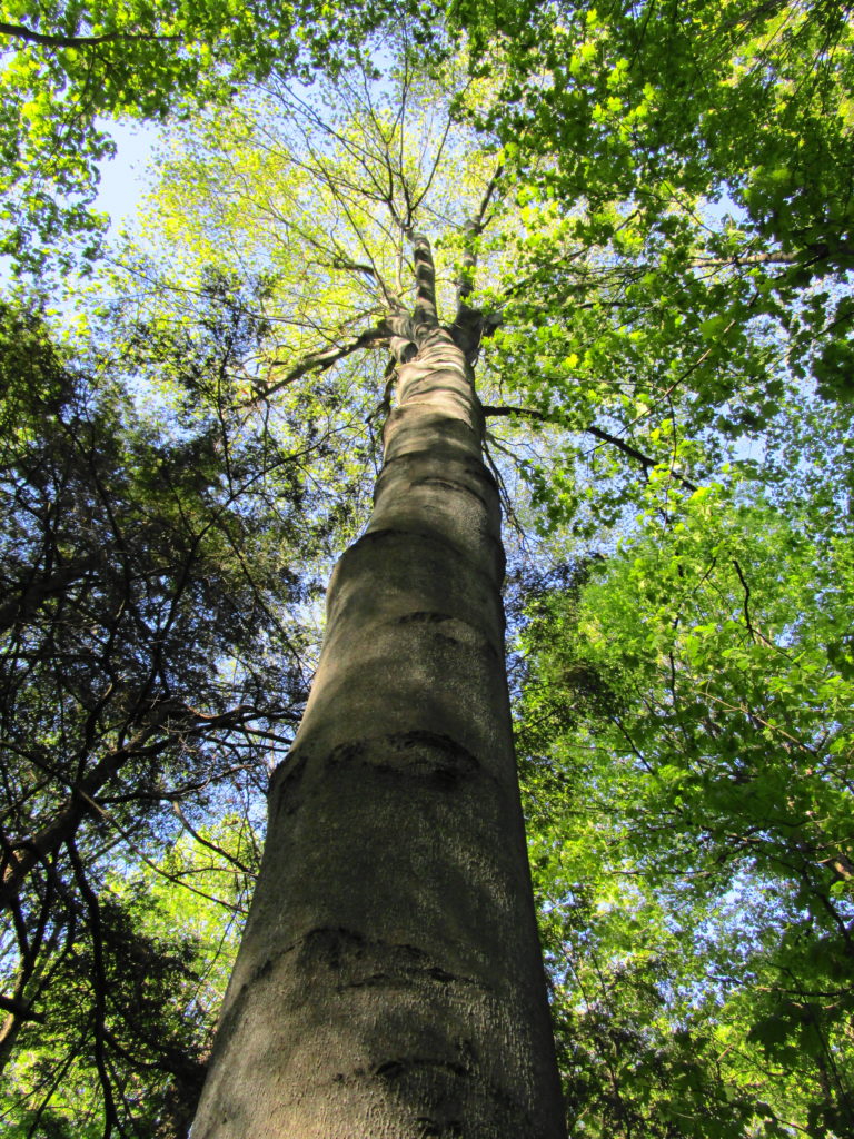
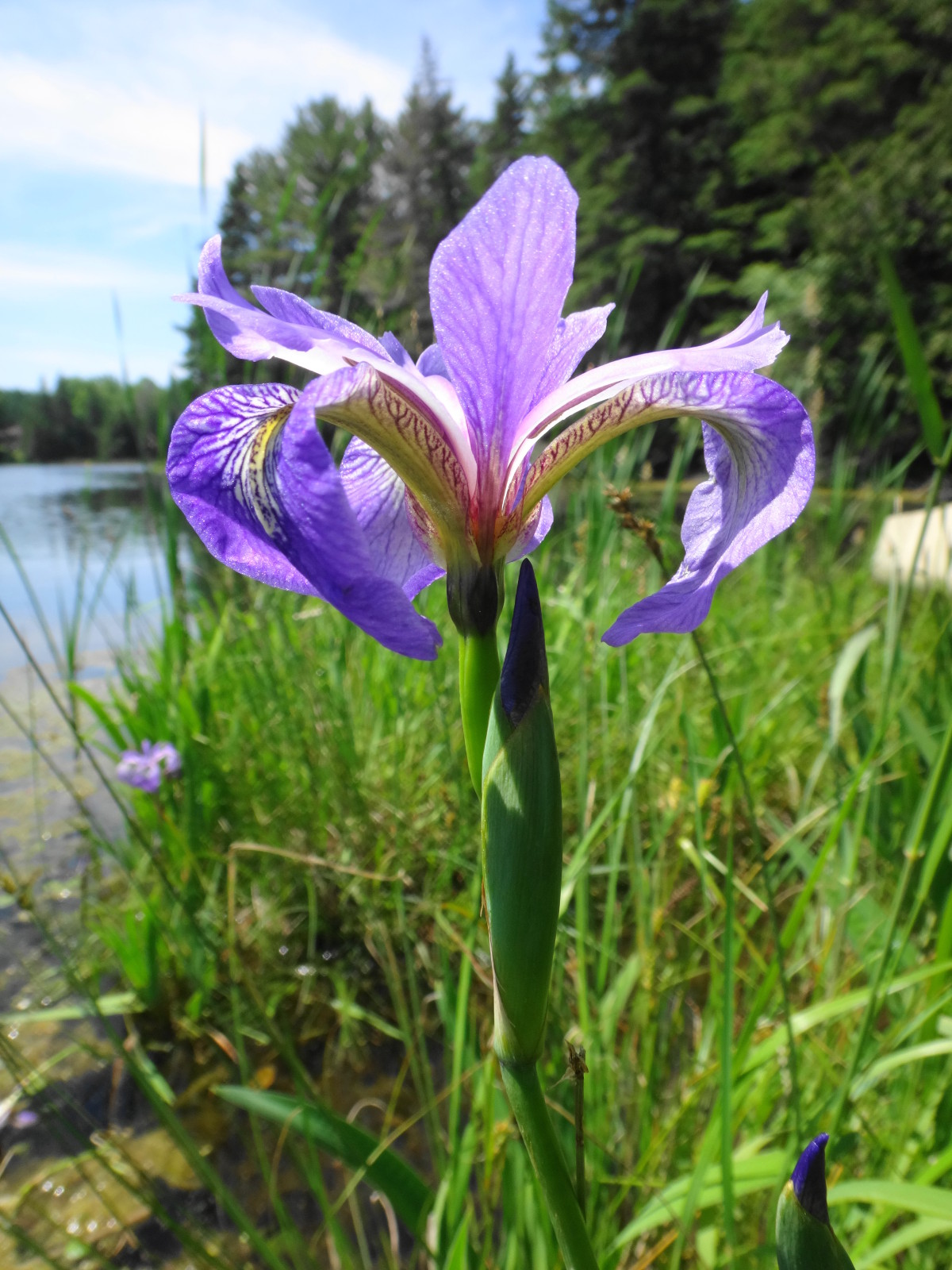
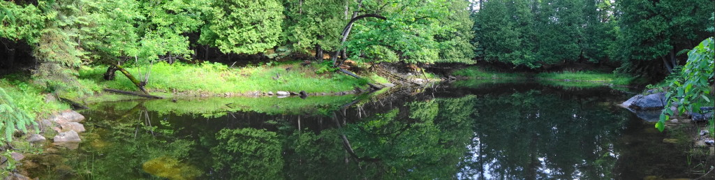
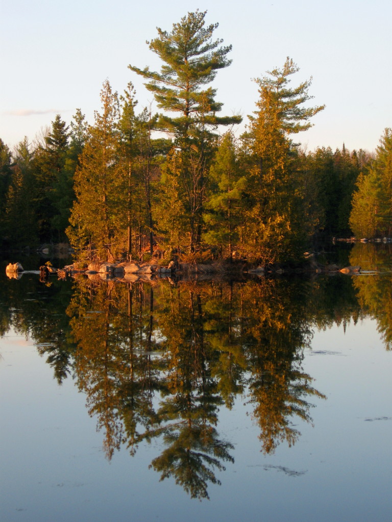
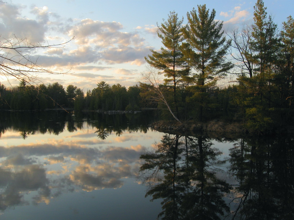
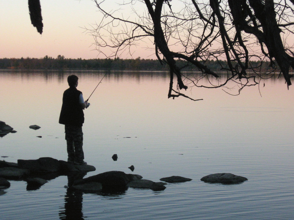
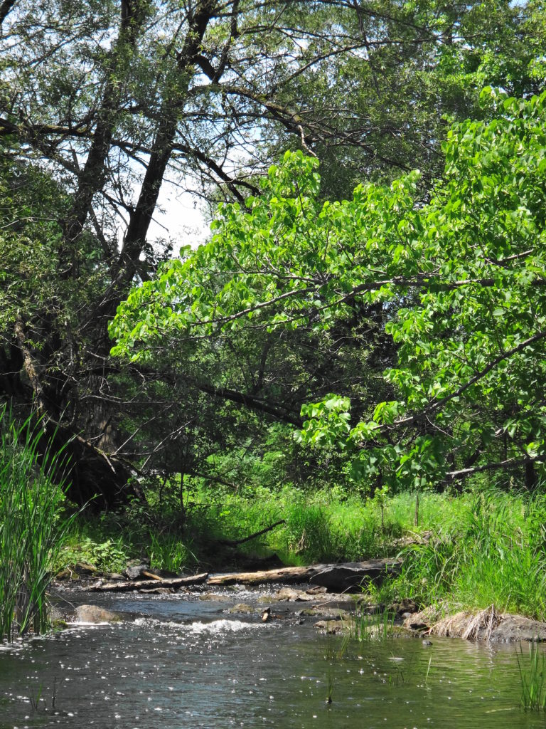
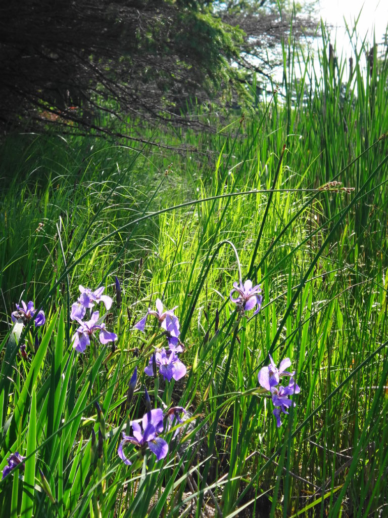
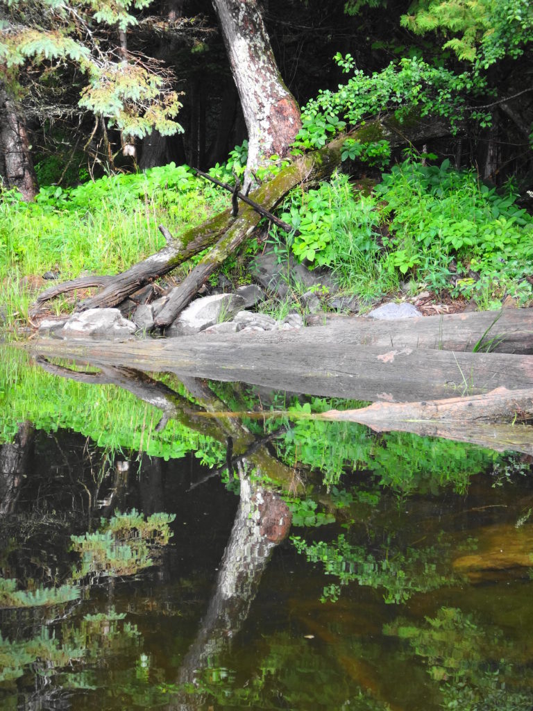
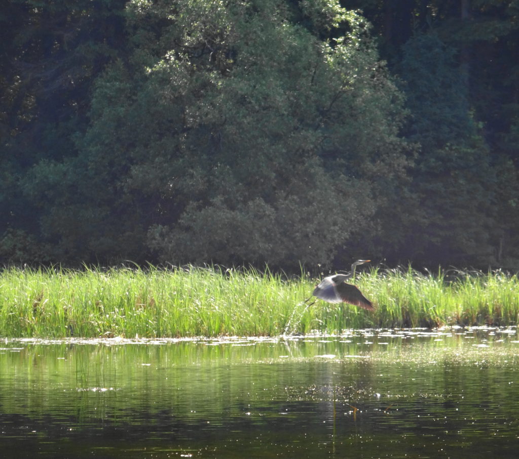
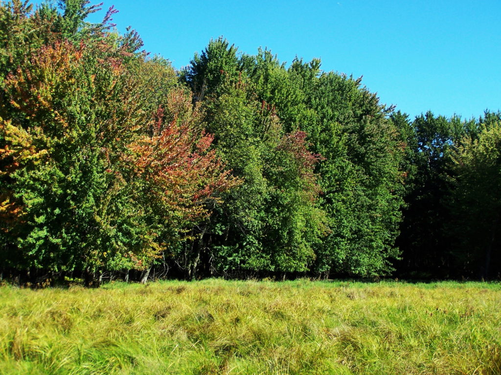
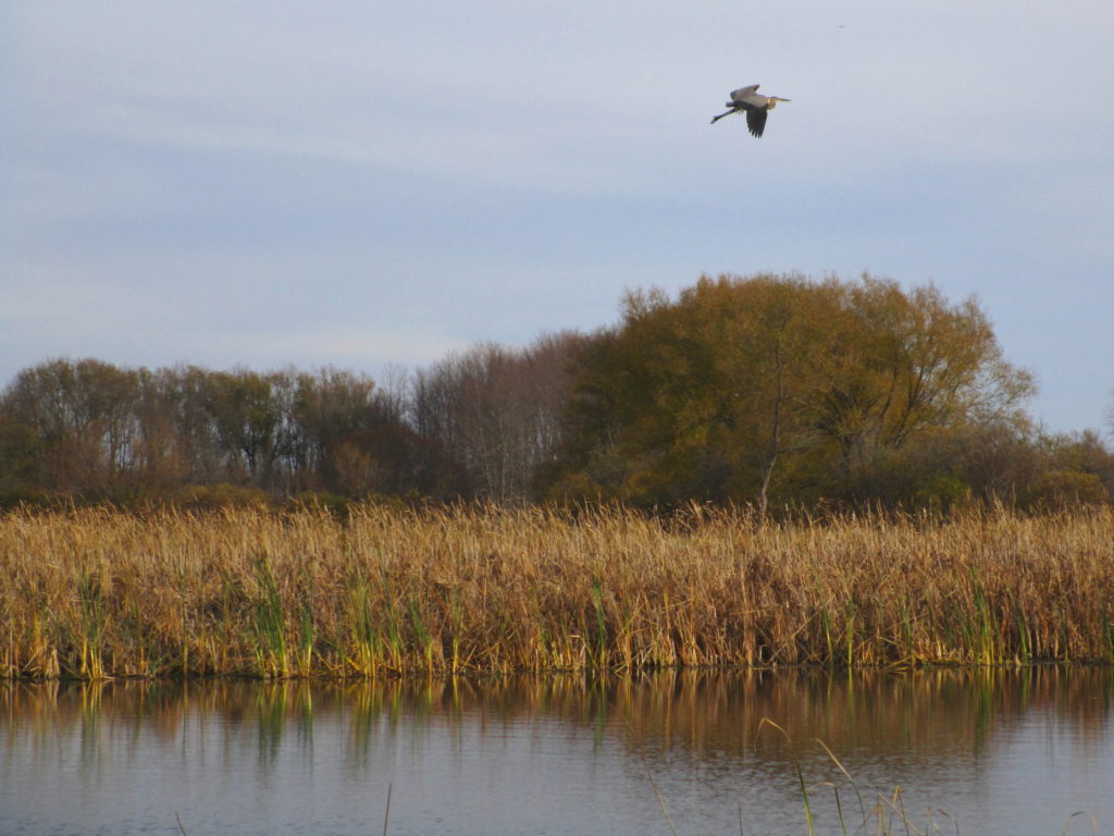
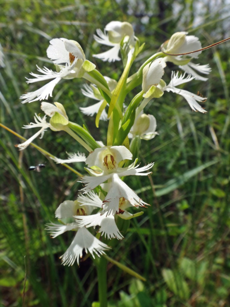
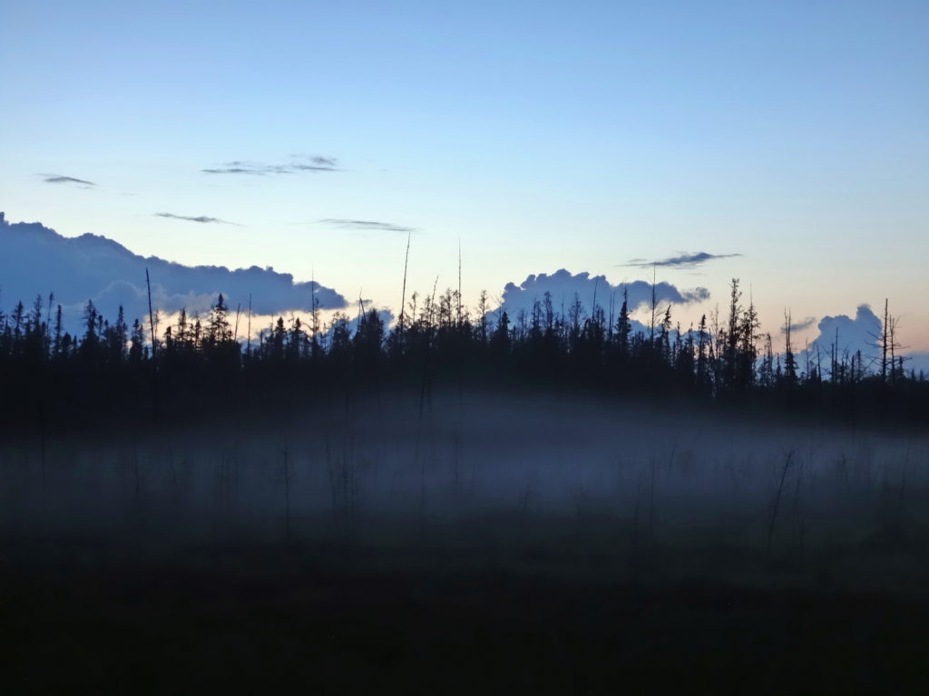
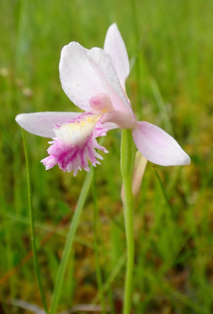
Tolkien, that tweedy professor, clearly had never stood in a deer track in an open, sunny fen with a breeze stirring the drooping reeds, dragonflies and damselflies dancing overhead, sedge wrens rattling in the rushes, and dense spikes of orchids rising from the spongy, peat mat.  He’d never paddled a canoe at dawn through a flooded cathedral of maples or bald cypress, watched by a wary heron.  He’d never sat beside a marsh at dusk, flipping a plug toward the lily-pads and watching a beaver crease the copper reflection of sunset on the water.

A woman meditates on a deck overlooking a wetland in the Four Seasons Conservation Forest, Deep River
Wetland, Four Seasons Conservation Forest, Deep River
The sun sets on the Upper Poole Creek Wetland.
Upper Poole Creek Wetland

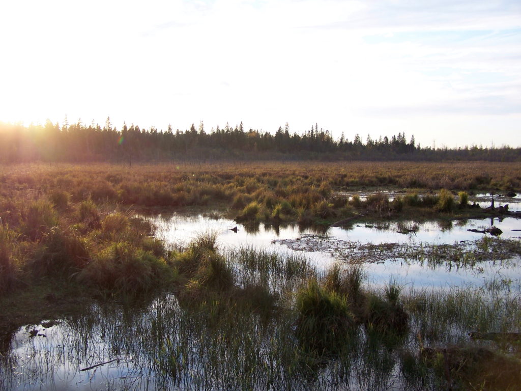
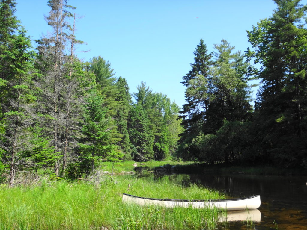
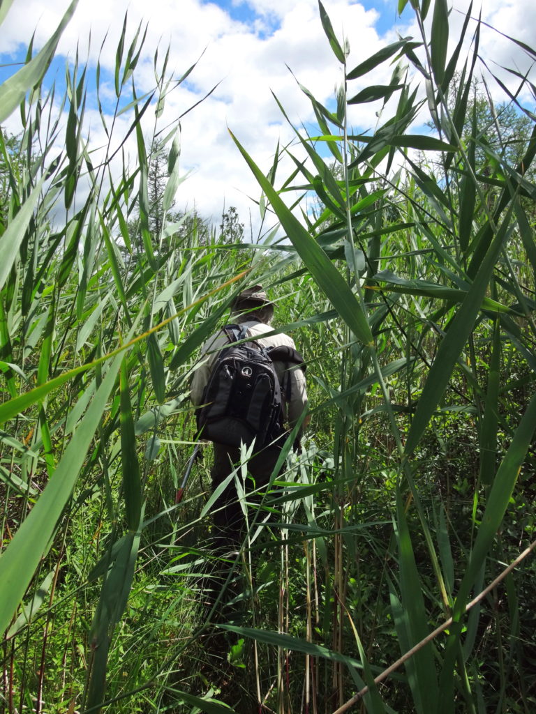
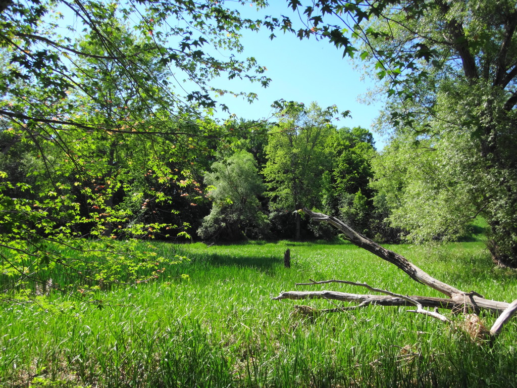
I spend more time in wetlands than most people, both for work and pleasure.  Unlike Tolkien’s poor hobbits, I have accepted the two inevitabilities of happy wetland exploration:  water and bugs.  I embrace the first.  Unless hypothermia threatens, boots and hip-waders are better left at home.  A pair of old runners — “bog shoes” — and long pants tucked into socks make for easier and more enjoyable wading.  I tolerate the second, helped by slatherings of picaridin or DEET.  With walking stick or paddle in hand, I follow the windings of marshy channels, clamber and slog through alder and ash swamps looking for fens, or pierce dense spruce thickets and ford moat-like laggs to stand upon a bog.

Reknowned naturalist, Michael Runtz, walks ahead along a deer trail in the Phragmites Fen.
Entering the Phragmites Fen with Michael Runtz

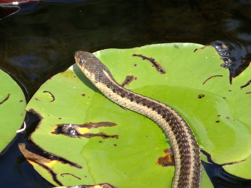
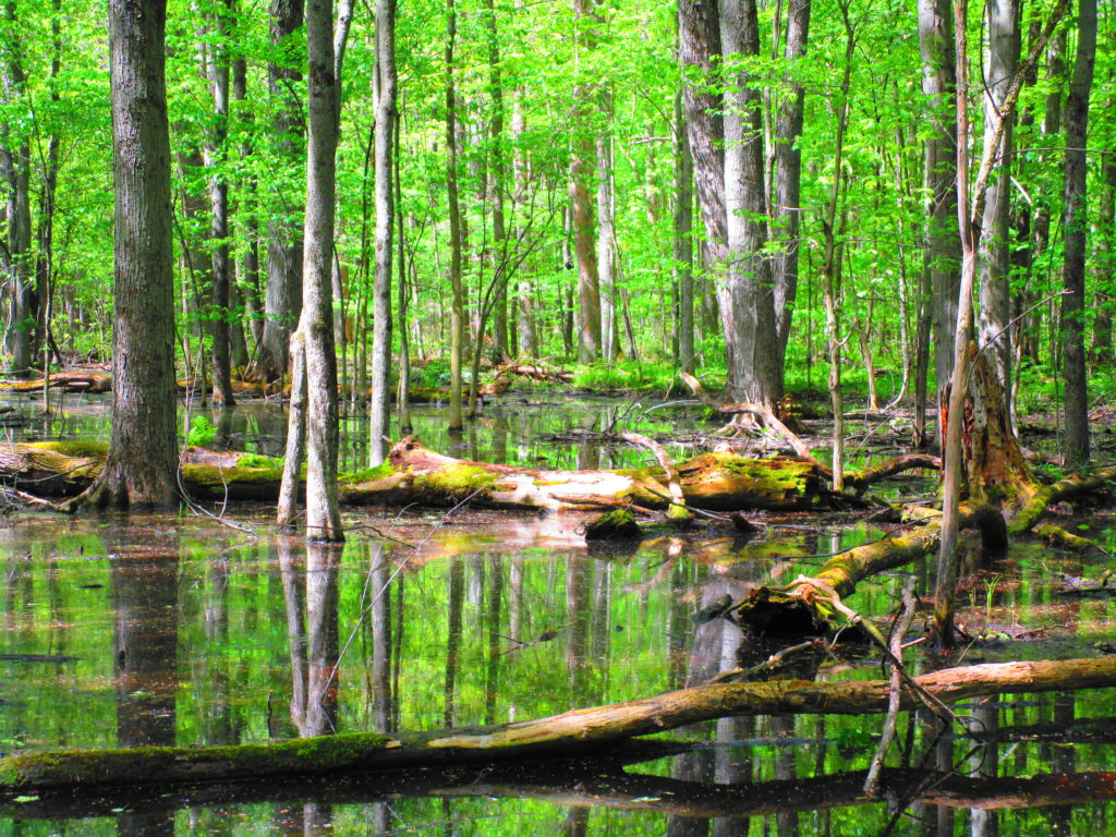
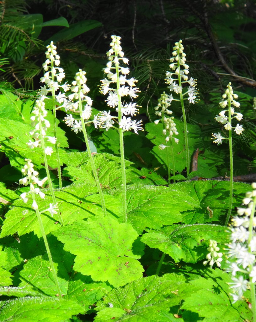
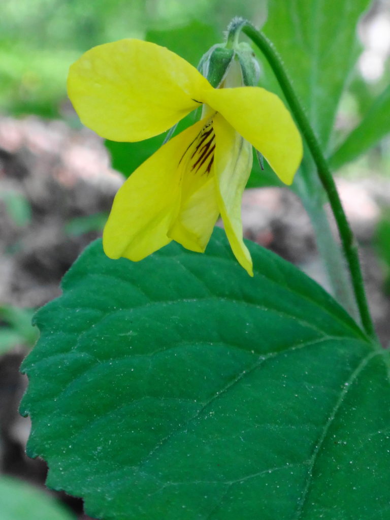
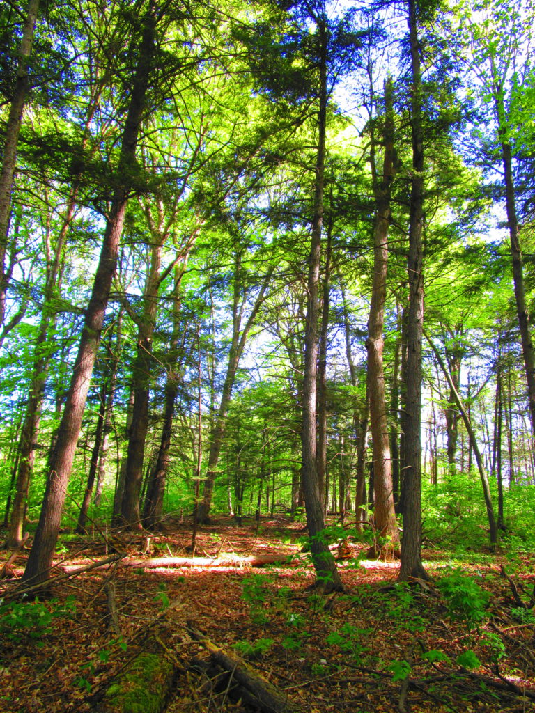
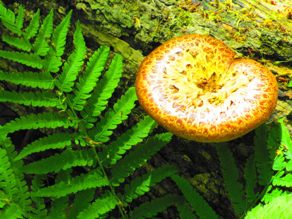
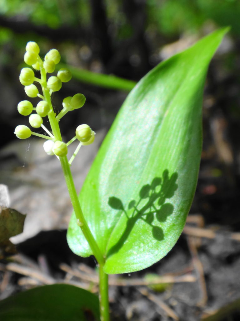
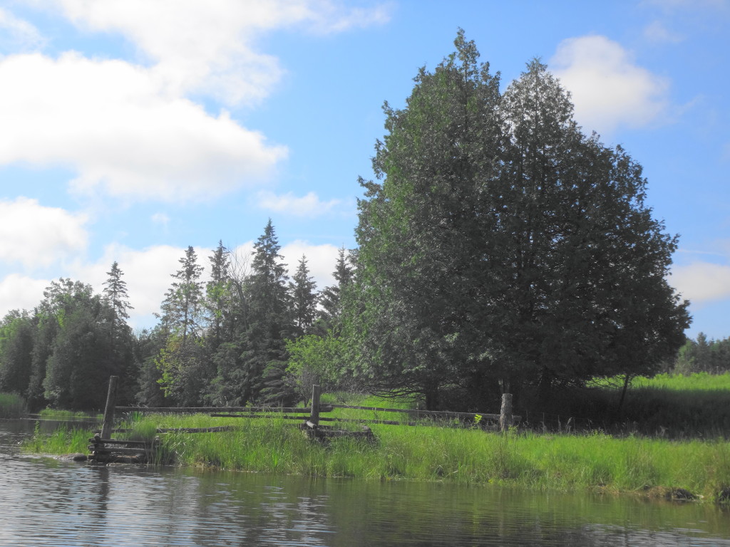
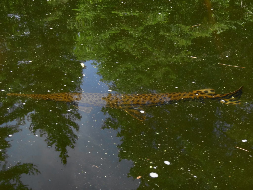
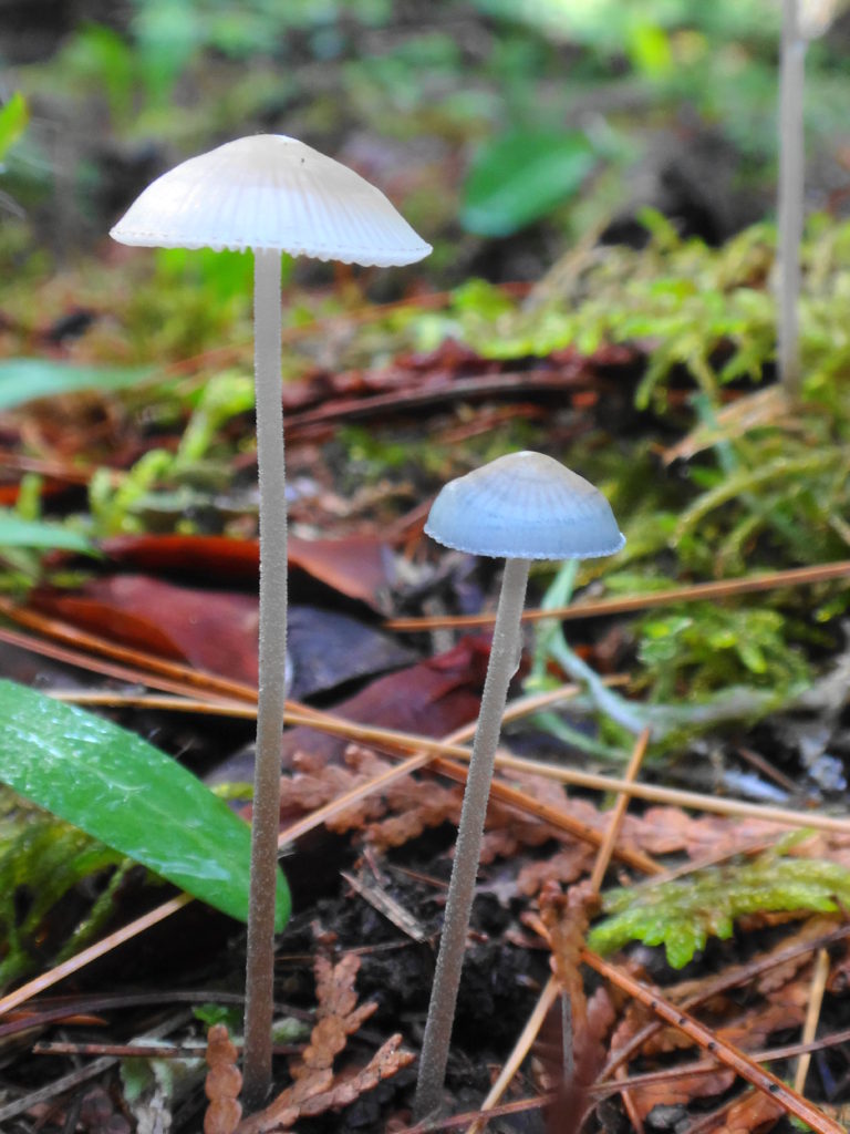
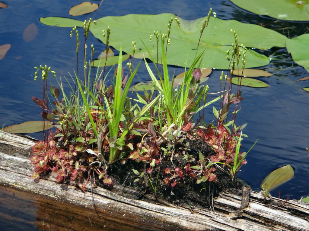
Wetlands, much like coral reefs or rainforests, display life at its most exuberant.  They literally overflow with the most precious substance in the universe, water:  H2O, that wondrous, bipolar, lipophobic molecule; miraculous solvent; force of nature; cradle of creation.  From the smallest plants on earth to some of the largest, life rises upwards from wetlands.  Scoop a handful of marsh water from a canoe and see life swimming and writhing in your palm.  Stand within a circle of reeds, close your eyes, and hear hidden life rustle, hum, buzz, and sing about you.  Raise your face to the emerald canopy of a red maple swamp and watch life transform sunlight into substance.

The autumn sun shines on an open marsh meadow and maple swamp.
Maple Swamp and Marsh Meadow, Stony Swamp

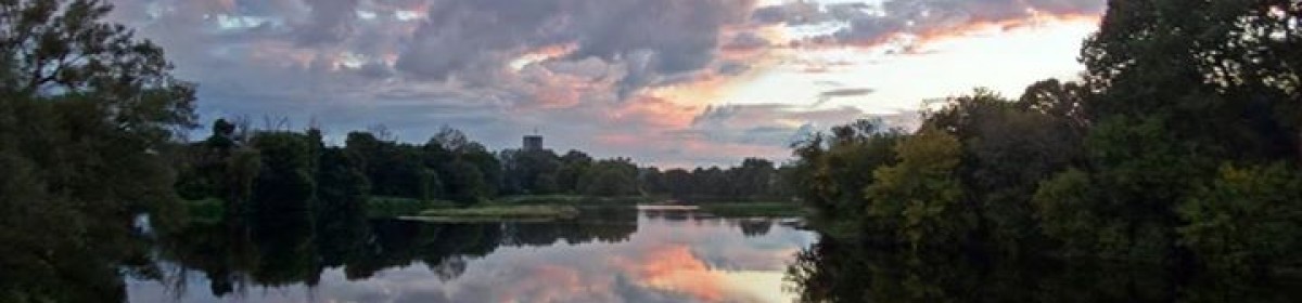
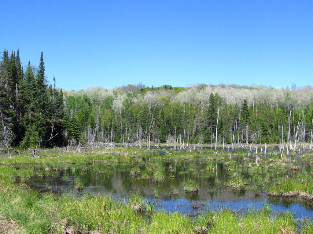
Ottawa and the Ottawa Valley differ from much of Southern Ontario in that they retain most of their original, pre-European wetlands.  Other areas south of the Canadian Shield have experienced the loss of up to 95% of their wetlands to urbanization and agriculture.  In addition to the direct loss of wetland habitat and biodiversity, these losses have robbed the landscape of much of its ability to retain water, nutrients, and pollutants — contributing to a array of environmental problems, including toxic algal blooms in Lake Erie.  In Ottawa, where about 60% of our original wetlands remain, the Rideau Valley Conservation Authority has calculated that they reduce peak floodwater elevations by about 10%.  In doing so, they protect property and homes in both the rural and urban area.

A great blue heron flies over a marsh.
Restored Wetland, Carp River Floodplain

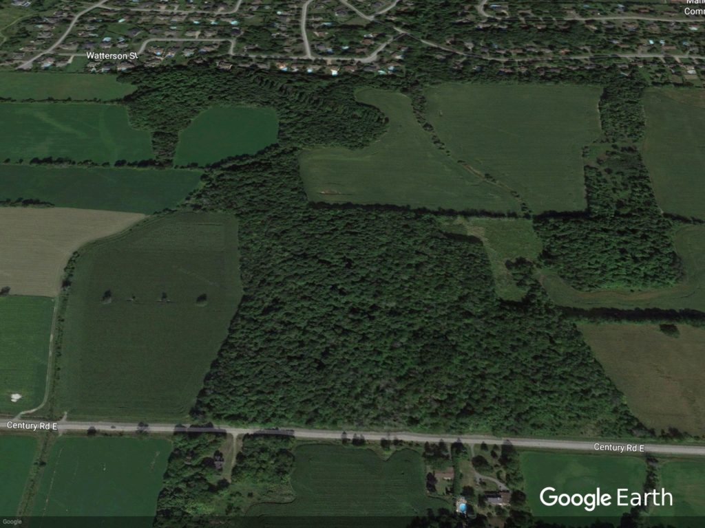
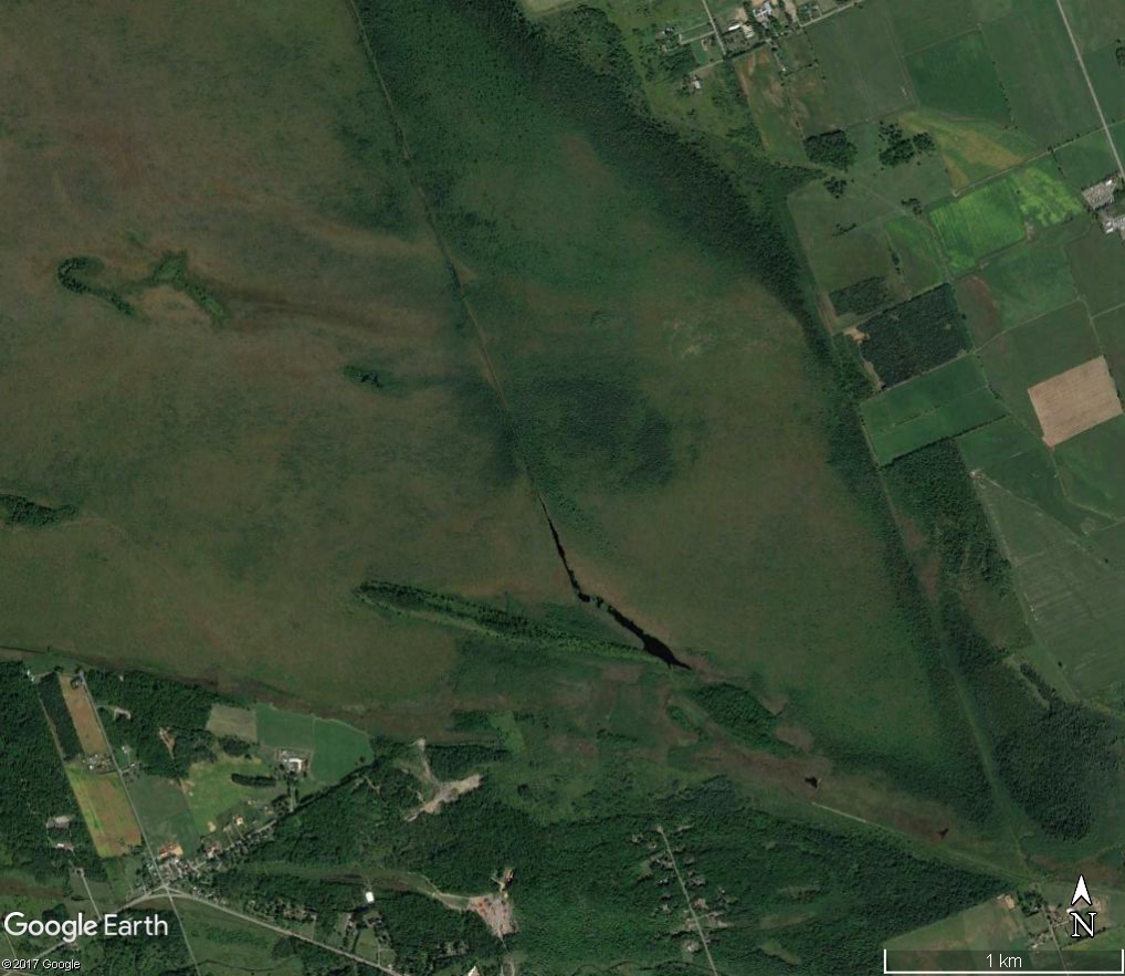
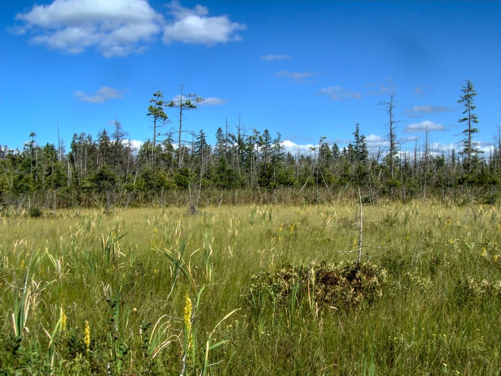
Circumstance rather than foresight has protected Ottawa’s wetlands.  Although protections now exist for much of the City’s wetlands, all of the larger wetlands bear the scars of previous attempts at drainage.  Even in Mer Bleue, an internationally significant RAMSAR wetland, abandoned drainage ditches and channels cut knife-like through the 10,000 year-old bog, easily visible on Google Earth.  Many of these attempts failed simply because the land proved too flat to drain efficiently.  Flat or near-flat plains of shallow limestone bedrock and clay cover about 2/3 of the City’s landscape, often pockmarked by shallow depressions.  Even where larger creeks and rivers, like Bearbrook or the Carp, have carved channels, they often flow slowly through wide floodplains lined by old oxbows, backwaters, and marshy swales.

An aerial photograph shows a long ditch bisecting the Mer Bleue bog.
Mer Bleue Ditching
A marsh lies in the floodplain of the Mississippi River.
Mississippi River Wetland

Since the mid-20th century, in fact, Ottawa’s wetlands have made a come-back, in large part thanks to the resurgence of beavers.  For nearly 200 years, beavers had become rare in the Ottawa Valley, eliminated in the 17th and 18th centuries by the combination of the fur trade, uncontrolled logging, and agricultural land clearing.  By the end of the fur trade in the mid-19th century, the focus of trapping had shifted far west and north.  Around the 1950s, however, beaver populations began to recover and to rec0l0nize their old ranges.  At the same time, marginal farmlands had been abandoned across eastern North America and forests began to regrow, providing food for returning animals.  In Ottawa, historical aerial photography shows beavers re-settling the area through the 1970s and 1980s, with populations reaching a peak in the mid-1990s.

A beaver lodge and food pile sit at the edge of thicket swamp.
Beaver Lodge and Food Pile

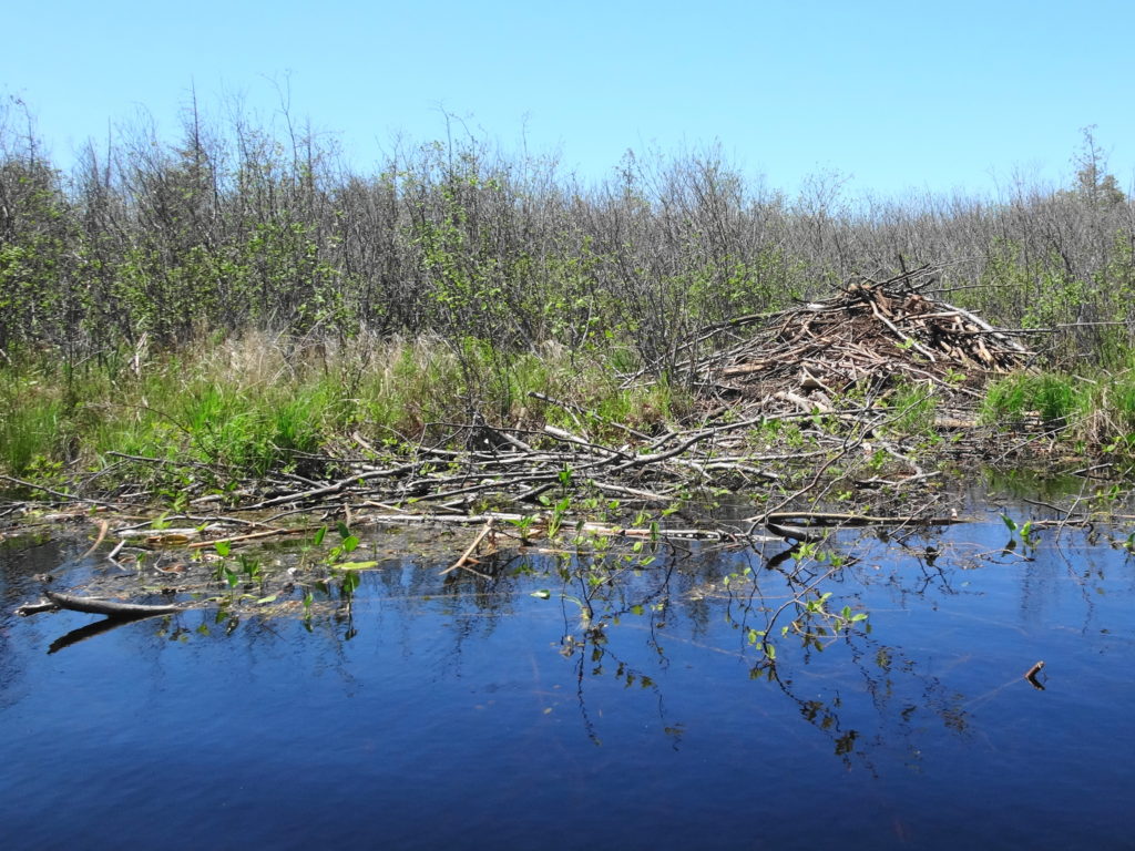
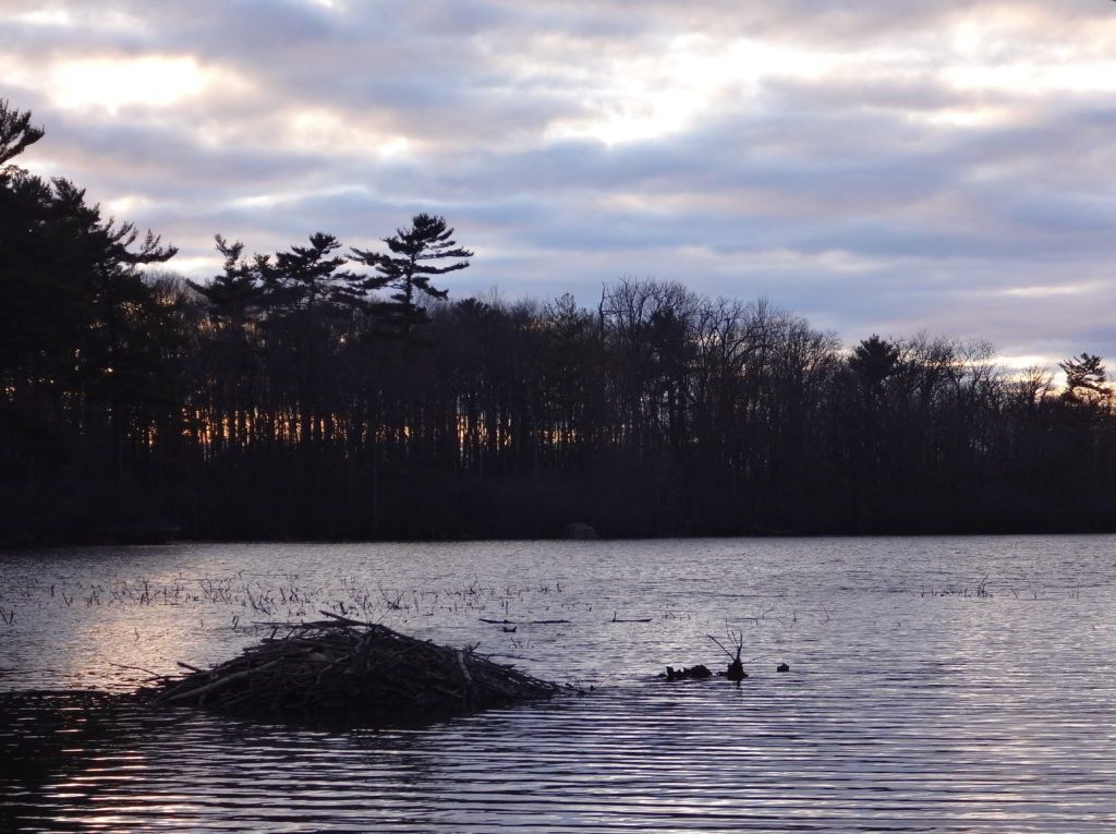
Signs of beavers appear everywhere, even in the heart of Ottawa.  A walk along any one of the City’s larger urban creeks is liable to reveal a dam or a lodge tucked into a quieter reach.  Stony Swamp, in the National Capital Greenbelt, contains the popular Beaver Trail, and Mud Lake, in Britannia, provides a favourite location for photographers seeking that iconic image of a beaver at dusk.

In the dusk light, a beaver lodge is silhouetted against the grey lake water, with a pine-covered shoreline in the background.
Mud Lake Beaver Lodge at Dusk
A large snapping turtle rises for a breath of air at Mud Lake.
Mud Lake Snapping Turtle

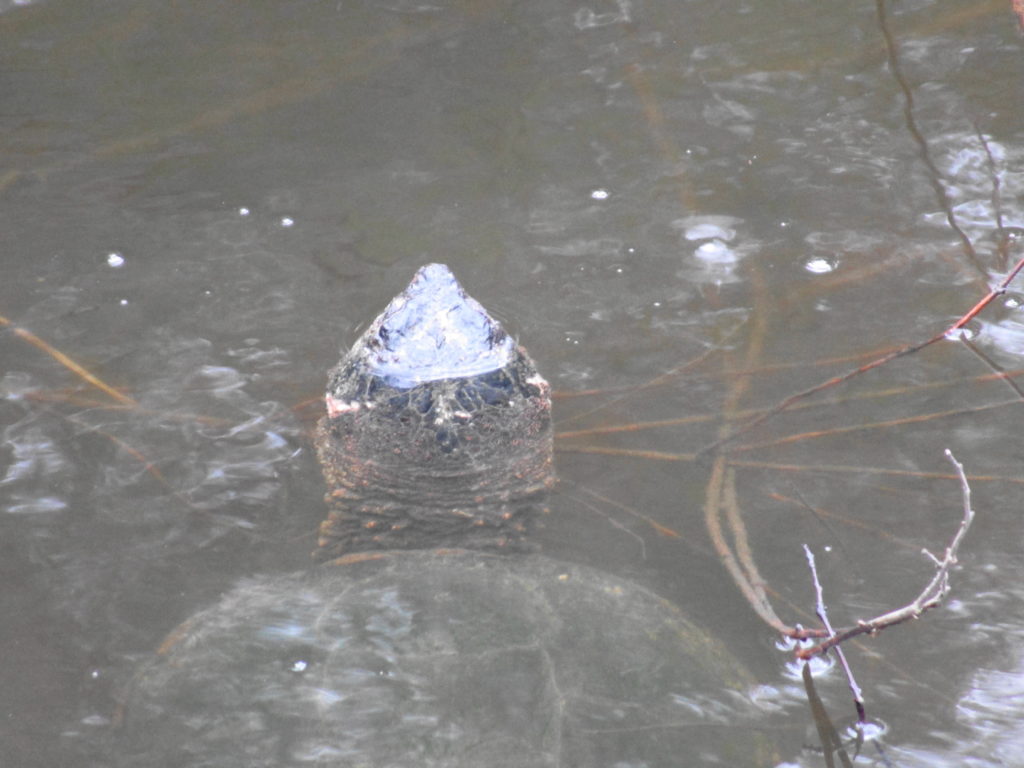
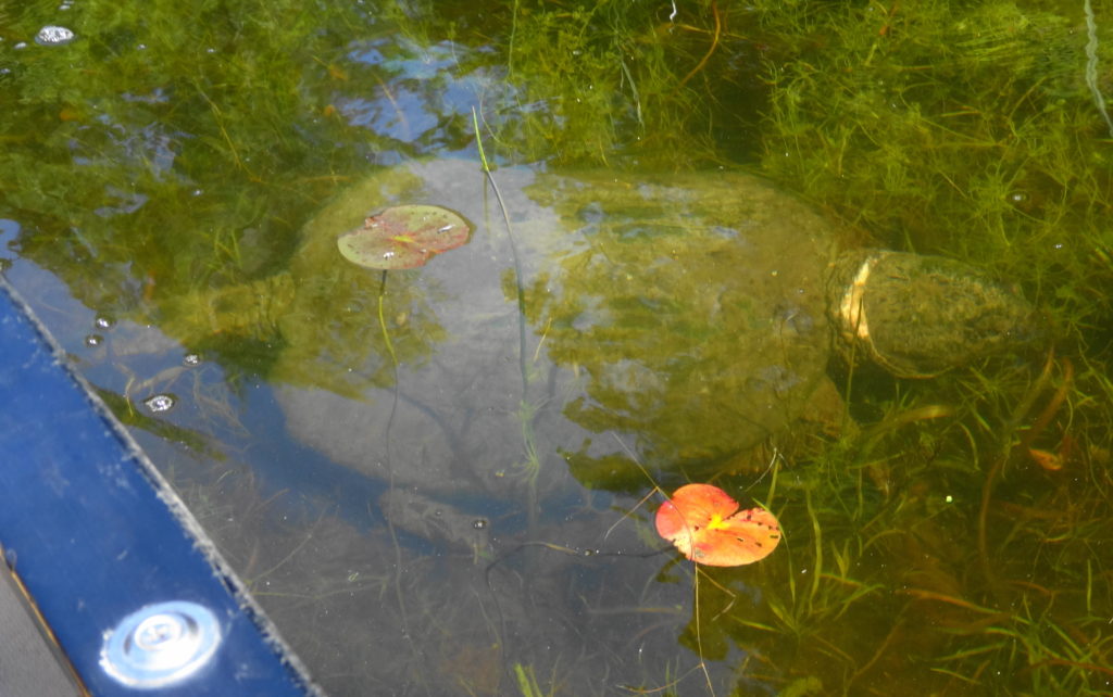
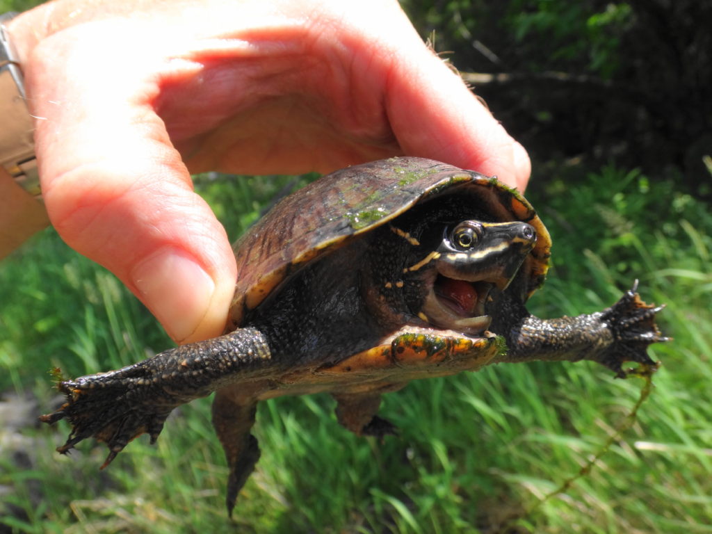
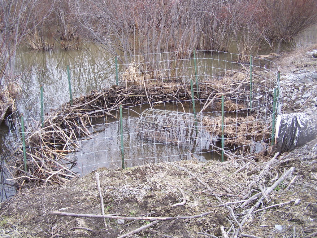
The real impact of beavers, however, has been felt in the rural area — both for good and ill.  That long-time chronicler of Ottawa’s natural history, Dr. Fred Schueler, has suggested that the return of beavers may be responsible for an apparent resurgence of threatened Blanding’s turtles in the region.  In fact, many scientific studies have demonstrated the immense benefits of beaver ponds and beaver meadows for biodiversity:  for everything from bugs and bats to moose and wolves.  However, those benefits seem poor consolation to a farmer who has seen acres of his grandfather’s fields and woodlots turned to marsh and swamp.  Sometimes the costs of those societal benefits come at the expense of individual landowners, with no compensation.  Given the robust health of Ottawa’s beaver population, I cannot fault a farmer who feels the need to trap a beaver — although I might suggest some more effective solutions.

A beaver deceiver protects road culvert.
Beaver Deceiver Protecting a Road Culvert

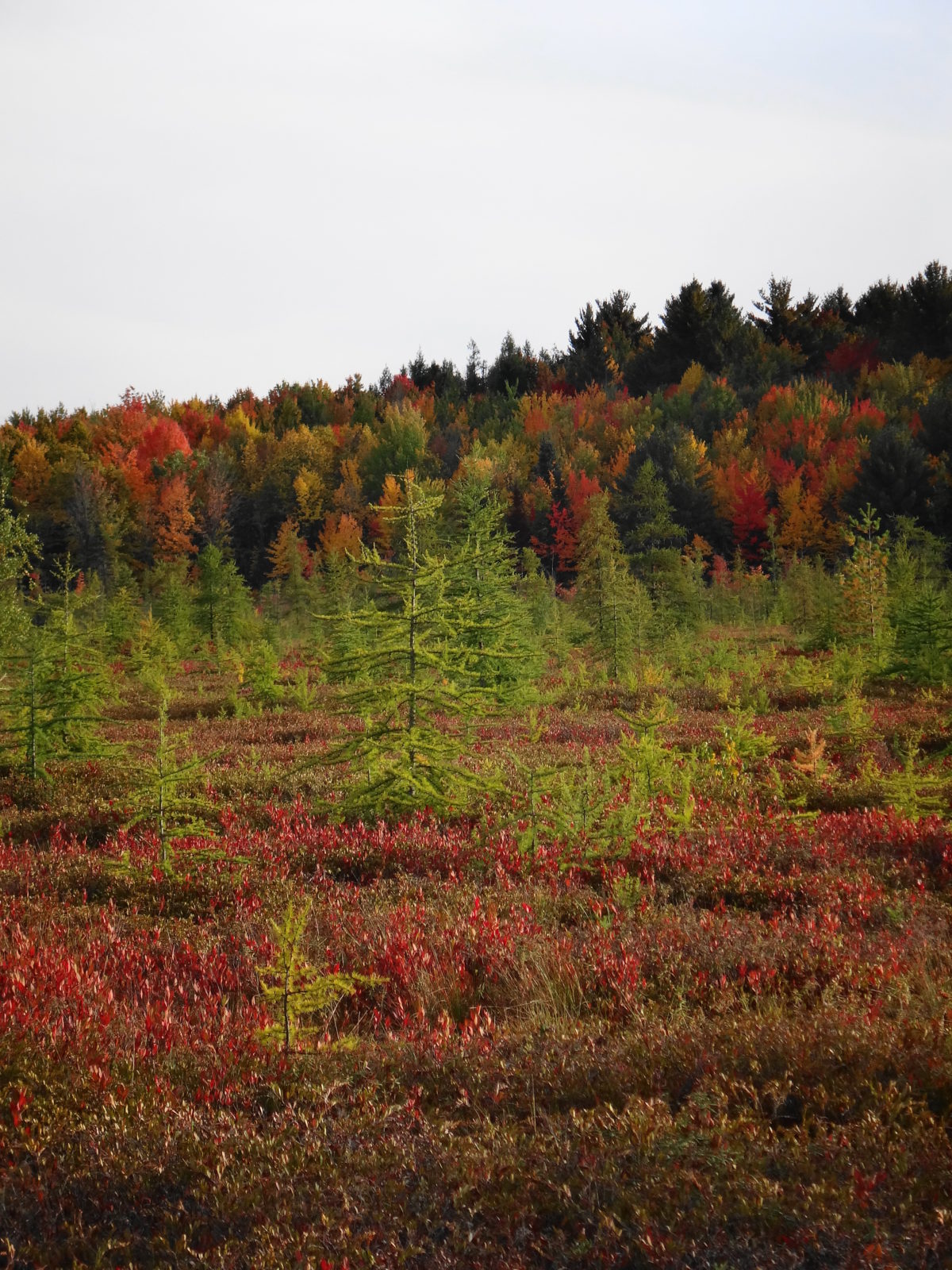
Ottawa’s residents enjoy access to every type of wetland:  marshes, swamps, bogs, fens.  The City of Ottawa has left some more sensitive areas, like the Phragmites Fen deep in the Marlborough Forest, protected by its own natural barriers.  But other features can be reached by trail, boardwalk, or path.  Mer Bleue and Stony Swamp, in the National Capital Greenbelt, receive the most visitors.  But the Trans-Canada Trail, west of Stittsville, offers lovely views over marshlands.  Petrie Island, in Kanata, provides a popular destination for photographers and birdwatchers.  The Crazy Horse Trail, in the Carp Hills, winds between beaver ponds, swamps, and small fens.

An endangered eastern prairie fringed orchid grows in a fen.
Endangered Eastern Prairie Fringed Orchid
A blue sky shines down upon a floating fen in the Shirley's Bay area.
Floating Fen
A patch of flowering sundews grows on floating log.
Sundews
A purple pickerelweed grows in shoreline marsh.
Pickerelweed
A low, evening mist blankets a spruce swamp.
Misty Swamp
A solitary, pink rose pogonia rises from a fen mat.
Rose Pogonia
A marsh lies nestled amidst the trees of Gatineau Park.
Gatineau Park Wetland

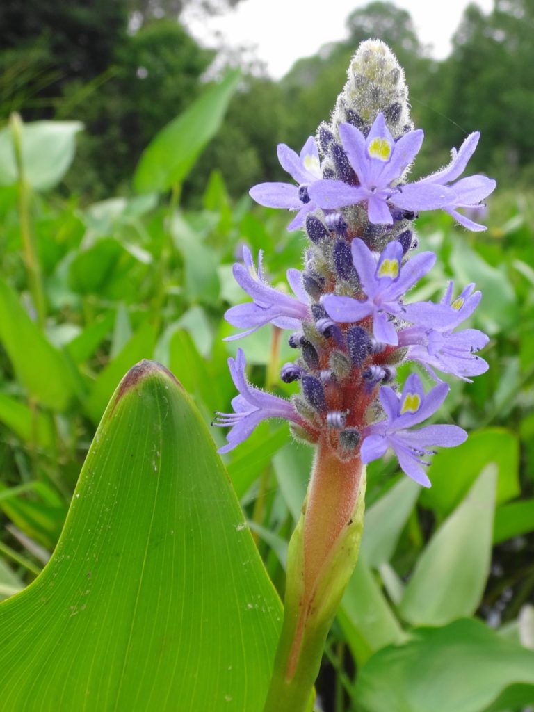
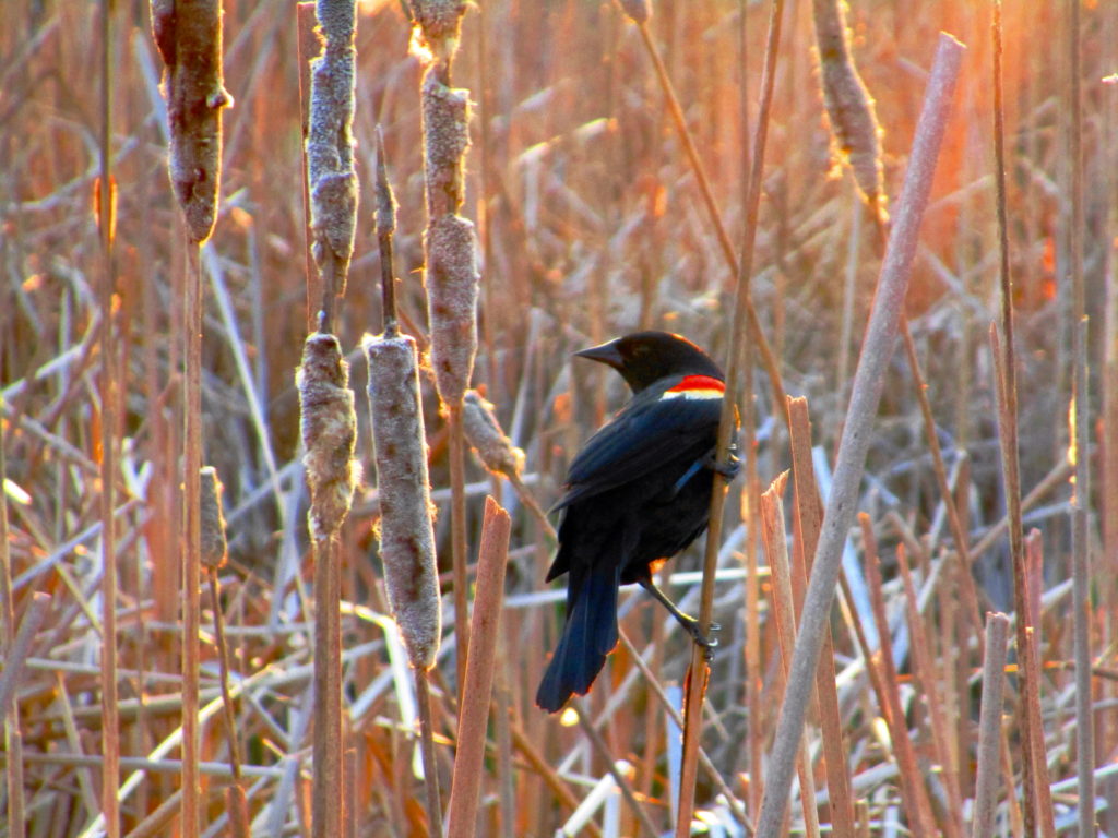
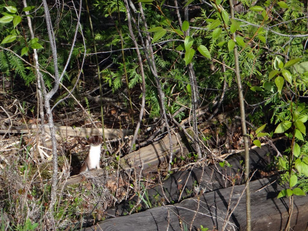
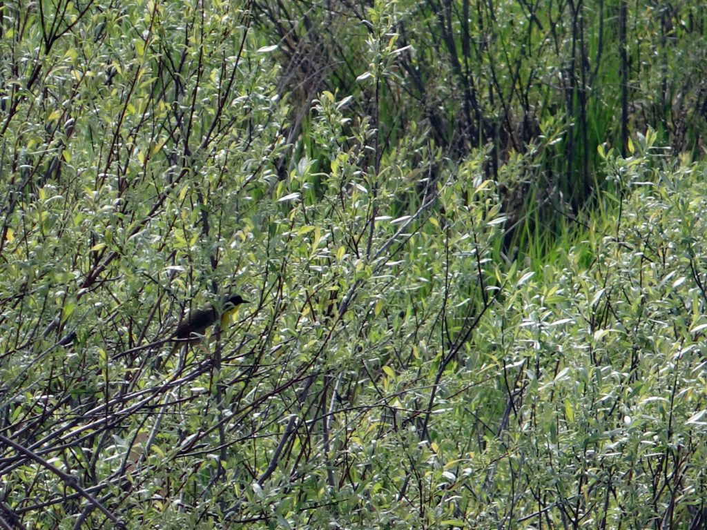
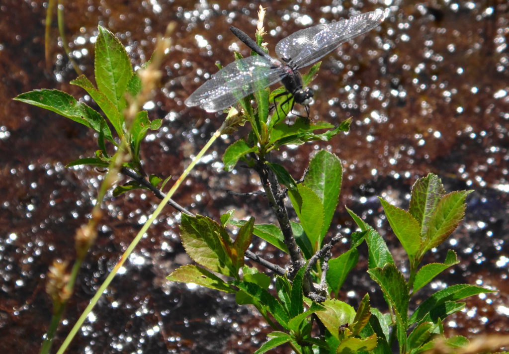
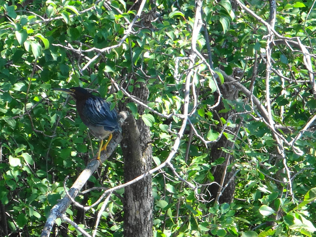
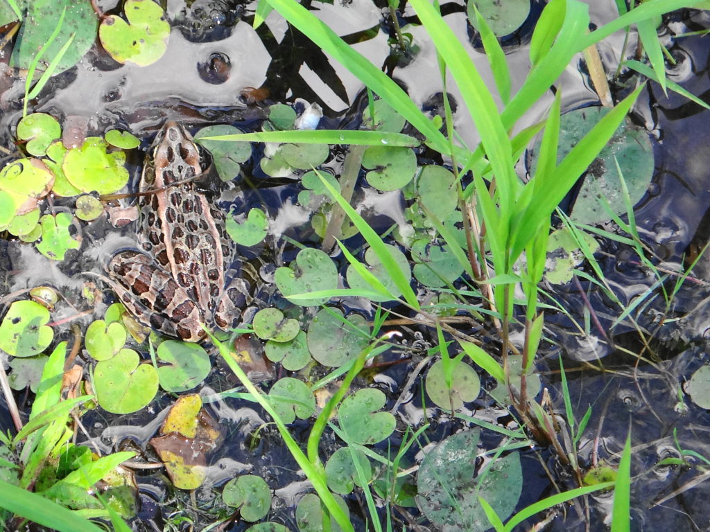
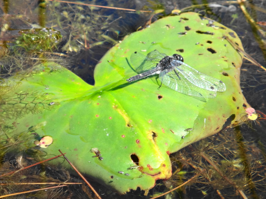
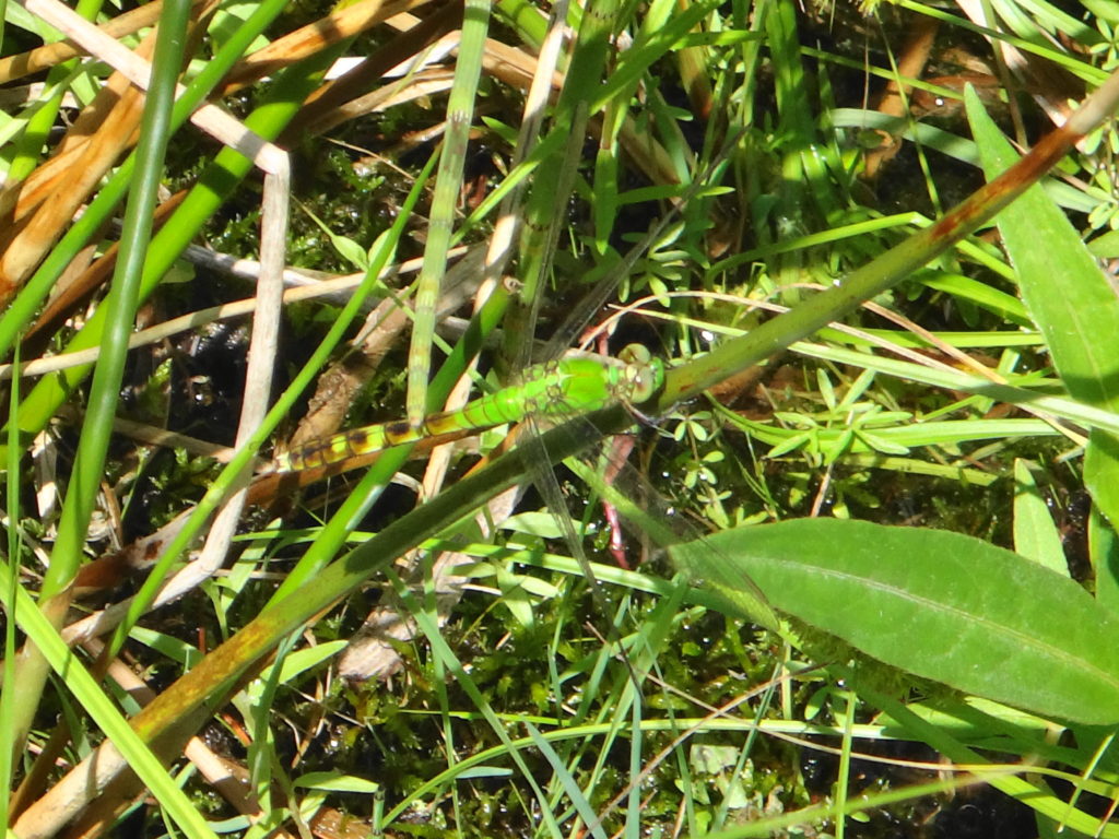
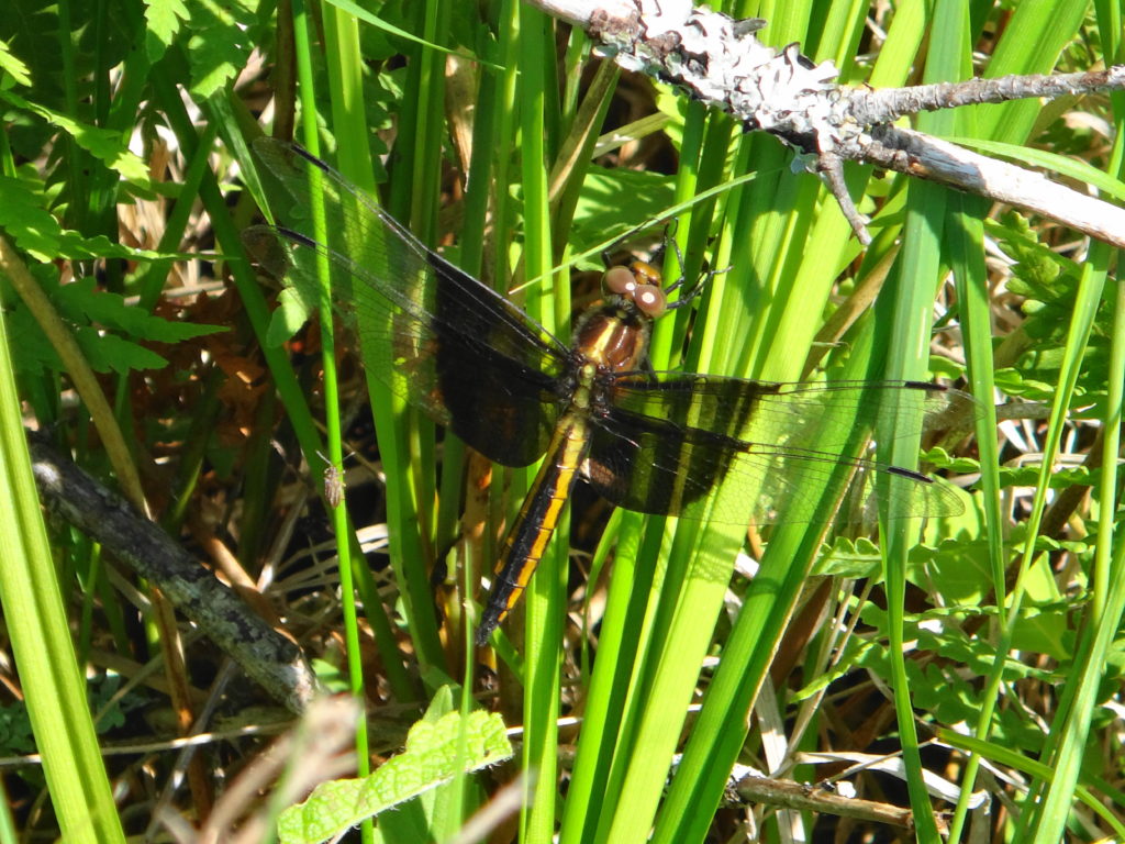
Unlike forests and grasslands, which tend to grow quieter as the sun rises higher, wetlands carry on through the day, as one group of animals replaces another.  Just as the dawn frog and songbird chorus begins to ebb, the turtles emerge cautiously on to basking rocks and logs.  Soon dragonflies and damselflies dart amongst the reeds.  A muskrat preens itself, while an ermine hunts along the shoreline.  Tree swallows chatter and sweep over the pond.  The afternoon hums with the sound of bees visiting pickerweed and joe pye weed.  A great blue heron freezes in the shallows, then spears a green frog.  The evening sun closes with the horizon and the fringing willows and alders cast long shadows across the marsh.  As the sun sets, a woodc0ck begins to buzz somewhere close by, while an American bittern starts to grunt deeper in the cattails.  With a ripple, a beaver breaks the surface and glides into the darkness.

A male red-winged blackbird clings to a cattail in the Dows Lake marsh.
Red-winged Blackbird, Dows Lake
An ermine peers out from some brush in the Upper Poole Creek wetland.
Ermine, Upper Poole Creek Wetland
A common yellowthroat sings from a willow shrub.
Common Yellowthroat
A close-up photograph of a white water lily.
White Water Lily
A dragonfly perches on a shrub in a fen.
Dragonfly in a Fen
A garter snake slithers across a floating pond lily leaf.
Garter Snake
A green heron perches in a tree at the Beaver Pond in Kanata.
Green Heron, Beaver Pond, Kanata
A leopard frog sits at the edge of the Snye Wetland.
Leopard Frog, Snye Wetland
A close-up photograph of an orchid called Swamp Pink.
Swamp Pink

Planning the Manotick Drumlin Forest

What makes a large urban forest special, and to whom?  How do you plan it?  How do you manage it?

Two large maple trees rise like pillars from the forest floor.
Maple Trees, Manotick Drumlin Forest

Not planning and managing it won’t do.  “Just leave it alone,” the City often hears.  That might work in the Marlborough Forest, or the Carp Hills.  In an urban forest, though, we don’t have that choice.  Whether the City plans it or not, people will use and change the forest.  People will walk their dogs.  Kids will ride their bikes, build forts, and climb trees.  Homeowners will dump yard waste along the edges.  Over time, a network of shortcuts and dusty, packed paths will develop.  Soon the blanket of wildflowers will thin and fray into a scattered patchwork, while invasive periwinkle and buckthorn creep inward from the edges.  Where massive maples and pines once aged and rotted, providing homes for woodpeckers and other wildlife, Forestry Services will remove any tree that could be a hazard to public safety.  Skunks and raccoons, enjoying the bounty of adjacent yards and gardens, will proliferate.  Where shaded forest pools once vibrated with the chorus of spring peepers and tree frogs, a silence will fall.

A forest pool lies under an emerald canopy of leaves.
Swamp, Manotick Drumlin Forest
A small tree fort perches above the forest floor.
Tree Fort, Manotick Drumlin Forest

We would like to avoid that fate for the Manotick Drumlin Forest.  Acquired by the City from Minto over the winter, the Manotick Drumlin Forest (also known as the Mahogany Forest) comes as close to an old-growth, northern hardwood forest as one can find in Ottawa.  In his original evaluation of the forest, the renowned biologist, Dan Brunton, commented on its outstanding beauty, especially the proliferation of wildflowers.  In a more recent evaluation, the biologists of Kilgour and Associates noted the remarkable diversity of the woodland.  Within its relatively small area, the forest includes not only a mature stand of sugar maple, but also a healthy hemock grove, a red maple swamp, and large specimens of every other tree species commonly found in northern hardwood forests:  white pine, beech, yellow birch, basswood, white ash (albeit infected with EAB), black cherry, red oak.  Not surprisingly, the Ministry of Natural Resources and Forestry has long identified the forest as a candidate Area of Natural and Scientific Interest (ANSI).  Together, the City of Ottawa and Minto have begun planning the preservation of these qualities, while enhancing the value of the woodlot to the surrounding community and the City as a whole.

An aerial view of the Manotick Drumlin Forest.
Manotick Drumlin Forest Looking North (excludes the woodland on the right)
White trilliums blanket a forest floor.
Trilliums, Manotick Drumlin Forest
A cluster of white enchanter's nightshade blooms in the forest.
Enchanter’s Nightshade, Manotick Drumlin Forest
A close-up photograph of single, yellow violet growing on the forest floor.
Downy Yellow Violet, Manotick Drumlin Forest

Over the next ten years, a new subdivision will grow up on the east side of the forest, with thousands of new homes and residents.  The City has a rare opportunity to work now with the land developer to decide how the forest and the new community will fit together.  Where will trails go, and how will they look?  How can we bring children into the forest and make it safe for them?  Where can we allow dogs, and can they be off-leash?  Can we turn the forest into a living classroom, and if so, how do we bring students to it?  Where will people find quiet, cool shade for contemplation?  And, most important, can we accomodate all of these uses while still protecting the trees, wildflowers, wetlands, and wildlife that make the forest unique?

A group of young hemlock trees stand the understory of a hemlock grove.
Hemlock Grove, Manotick Drumlin Forest

Some answers already seem apparent.  If we don’t plan and create trails, then future residents will create their own.  By planning trails now, we can direct traffic away from the most sensitive places and leave space for natural forest processes to continue.  By considering the viewscapes along streets and across open spaces, we can highlight the natural beauty of the forest as a centrepiece of the community.  By working with the shape of the forest, we can create smaller, more intimate scenes for retreat and gentle appreciation.  Most important, in my mind, we must also plan for kids, for the creation of spaces and zones along and within the boundary of the forest, where free play can occur.  In doing so, however, we must consider the risk posed by Ottawa’s new status as a Lyme disease area.  This emerging issue emphasizes the need for particular attention to “edge management” in the transition zone between the forest and adjacent landscaped areas, both for protection of residents from natural hazards, and for protection of the forest from residents.

A spreading maple, typical of old pastures, dominates a stand of younger, second-growth trees.
Old “Field” Maple in Younger Second Growth Trees, Manotick Drumlin Forest, North Section
The sun glints through the towering canopy of the Manotick Drumlin Forest.
Sunlit Canopy, Manotick Drumlin Forest

We know that no matter how carefully we plan, we cannot protect the woodlot from all impacts — whether intentional or incidental.  Very sadly, unauthorized tree cutting and harvesting of wild plants has already caused substantial damage to the most sensitive portion of the forest.  In the end, the fate of the forest will lie in the hands of the community.  It will reflect the love and care that the community residents provide.  If they value and respect the beauty and wonder of the woodlot, then they will preserve it.  If not, then no amount of planning and City management will compensate.  As the City and Minto move ahead with planning, we will seek community partners in stewardship and conservation.

A mature black cherry tree lies on the forest floor where it has been cut down and partially hauled away.
Unauthorized Tree Cutting, Mature Black Cherry, Manotick Drumlin Forest

The Manotick Drumlin Forest preserves a glimpse into the forests of the past.  Not a pristine glimpse — sadly the chestnuts, elms, and now white ash of old have fallen victim to imported pests and diseases — but one that conveys a strong sense of how the forest must have appeared to the Algonquins.  Majestic in scale; intimate in sense; timeless in experience.

A mushroom grows out of rotting log, beside a fern, on the forest floor.
Nurse Log and Fern, Manotick Drumlin Forest
Two tall, white trilliums bloom beside a tree trunk.
Trilliums, Manotick Drumlin Forest
The buds on the floral spike of a Canada mayflower swell before blooming.
Canada Mayflower, Manotick Drumlin Forest
A garden of ostrich ferns glows in sunlight.
Ostrich Ferns, Manotick Drumlin Forest
A mature maple tree towers into the canopy of the Manotick Drumlin Forest.
Mature Maple, Manotick Drumlin Forest
A mature beech tree towers into the forest canopy.
Beech Tree, Manotick Drumlin Forest

Morris Island and the Snye River

I wonder, sometimes, if some places should remain undiscovered.  If they remain unknown, then who will care to protect them?  But if they become too well known, how much attention can they withstand?  The Morris Island Conservation Area and the Snye River fall into that category.

Morris Island lies at the far west edge of Ottawa, on the Ottawa River just upstream of Des Chats Dam.  The Snye River, a shallow, rocky stream, separates the island from the mainland.  The Snye originates as a branch of the Mississippi River, which enters the Ottawa River at Marshall Bay, upstream of Morris Island.  About 500 m from the mouth of the Mississippi River, the Snye branches off 90 degrees from the main channel and winds its way northeast for several kilometres, rejoining the Ottawa River near Fitzroy Harbour.  I haven’t found any explanation for the origin of the Snye River.  However, the Ontario Geological Survey identifies the area as “confirmed karst”.  Karstic features appear in many places along the Snye, which leads me to think that it probably began as a cave feature, subsequently collapsing to create a surface stream.

Flooded sinkhole - Snye River
Flooded sinkhole – Snye River

Only one small bridge crosses the Snye, limiting development to less than 15% of Morris Island, clustered entirely on the west side.  Most of the island remains privately-owned.  Without another bridge, however, no further large development can occur, and the cost of such a bridge appears prohibitive.  Provincially significant wetland and habitat for species at risk also cover much of the island.  In the short term, therefore, the area appears likely to remain largely natural.  In the long term, it would benefit from greater public ownership.

A wooden fence stands beside the Snye River at the edge of an old field.
Old Fence – Snye River

Fortunately, the most scenic part of Morris Island already resides in public ownership.  The Morris Island Conservation Area — owned by the City of Ottawa and managed by the Mississippi Valley Conservation Authority — lies at the very end of the island’s road, on the south side of Lac Des Chats, in the backwater of Des Chats Dam.  The calm, stable waters of the lake lap along a rugged shoreline and archipelago of small islands.  Trails lead from the small parking lot.  One broad, accessible trail follows the route of an old railbed along the shore, while narrower nature trails venture into the forest and across boardwalks to the larger islands.

A pretty place at any time of year, Morris Island looks most beautiful in the autumn.  Along the shorelines of the islands, the gold, red and yellow foliage reflects in the still water.  Leaves carpet the pathways.  The rich odour of damp earth fills the air.  In the late afternoon, the low sunlight glows warm.  A cast lure lands in the gentle river with a quiet, “plop”.

Pine trees reflect perfectly in the still waters of Morris Island Conservation Area.
Morris Island Reflections
Silhouetted against the evening sky, trees and shoreline reflect in still water.
Evening at Morris Island Conservation Area
A teenage boy fishes from the shoreline, silhouetted against the river and sunset.
Evening Fishing at Morris Island Conservation Area

The Snye River, in contrast, deserves a morning paddle in the richness of full summer.  Sunlight penetrates deep into the clear water.  Longnose gar warm themselves in the shallows, and smallmouth bass lurk as dark shadows at the edge of boulders or beneath undercut banks.  Turtles glide below the surface.  The river cuts through bedrock, alternating between deep pools and short, shallow riffles.  In some of the longer, wider runs, enough sediment has built up to form small marshy areas and wet meadows.  It may be the most picturesque river in Ottawa.

A shallow riffle runs through a green canopy of trees.
Snye River Riffles
A small cluster of purple irises blooms on a marshy shoreline.
Iris versicolor Blooming on the Snye
A torpedo-like longnose gar basks just below the surface of the water.
Longnose Gar
A canoe rests on the edge of a sedge meadow beside the Snye River.
Sedge Meadow
A log, ferns and rocky shoreline reflect in the water of the Snye River.
Reflections along the Snye
A snapping turtle rests on the bottom of the river.
Snapping Turtle

Morris Island and the Snye River provide one of the best places in Ottawa to find and photograph wildlife.  The mix of forest types, the presence of wetlands, the confluence of two major rivers, and the close proximity of West Quebec’s enormous wilderness areas, give the area an amazing diversity of habitats and species.  Many of Ottawa’s species at risk enjoy relative protection and abundance in the area — a condition which deserves respect and sensitivity.  Visitors should heed the old Sierra Club motto:  “take nothing but a photograph; leave nothing but a footprint.”  If we treat the area gently, then it should remain a haven for future generations of wildlife and visitors.

A dot-tailed whiteface dragonfly rests on a lilypad.
Dot-tailed Whiteface
An eastern pondhawk dragonfly clings to a reed.
Eastern Pondhawk
A widow skimmer dragonfly clings to a reed.
Widow Skimmer
Two small, blue mushrooms grow on the forest floor.
Mushrooms in the Forest
A great blue heron takes flight from a marshy shoreline.
Taking Flight
A musk turtle hisses as it is held between a thumb and fingers.
Musk Turtle