Death and Life of a Forest Tree

Do not mourn the passing of a tree. Disturbance is a natural and necessary part of the life of a forest.

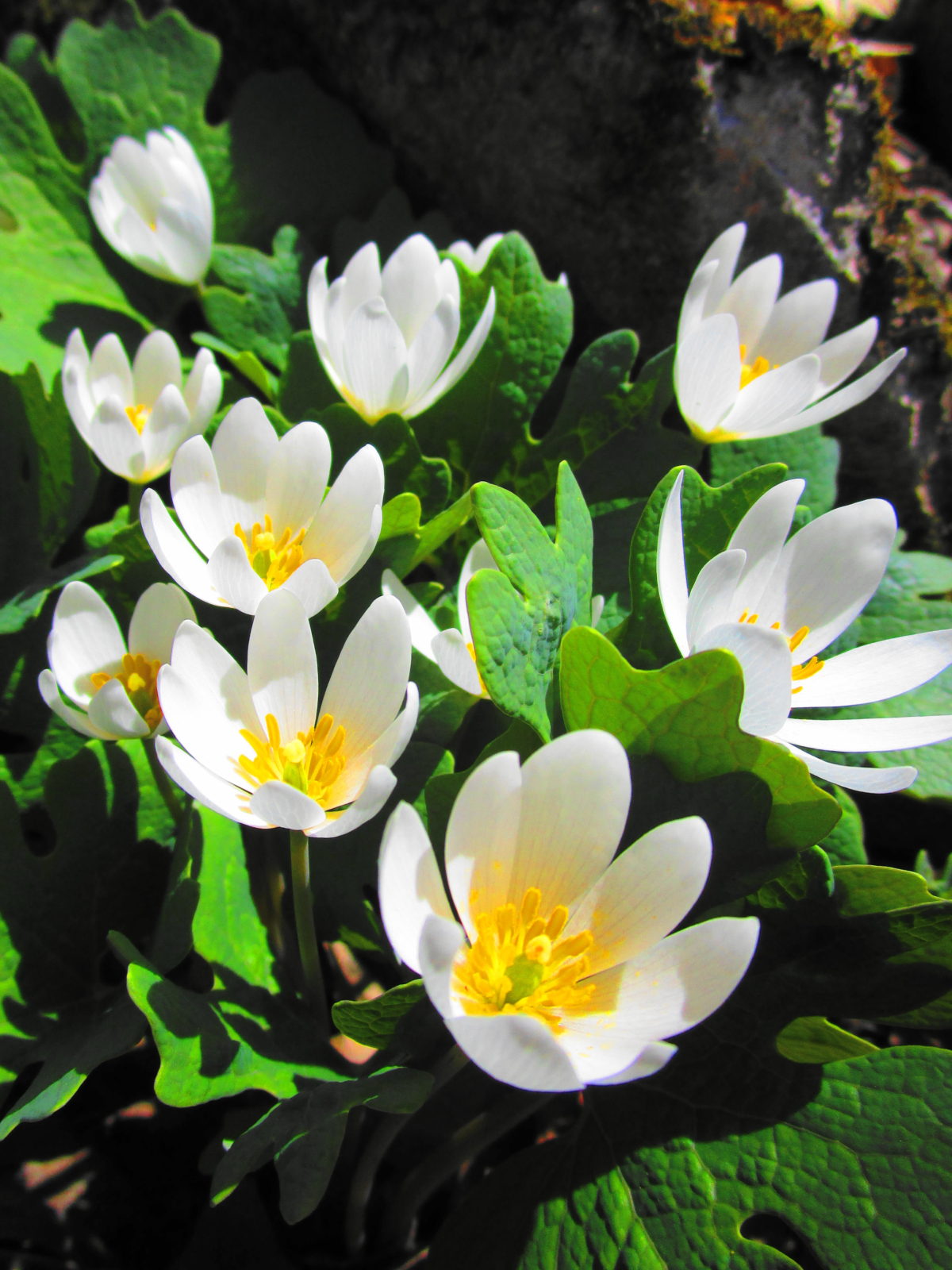
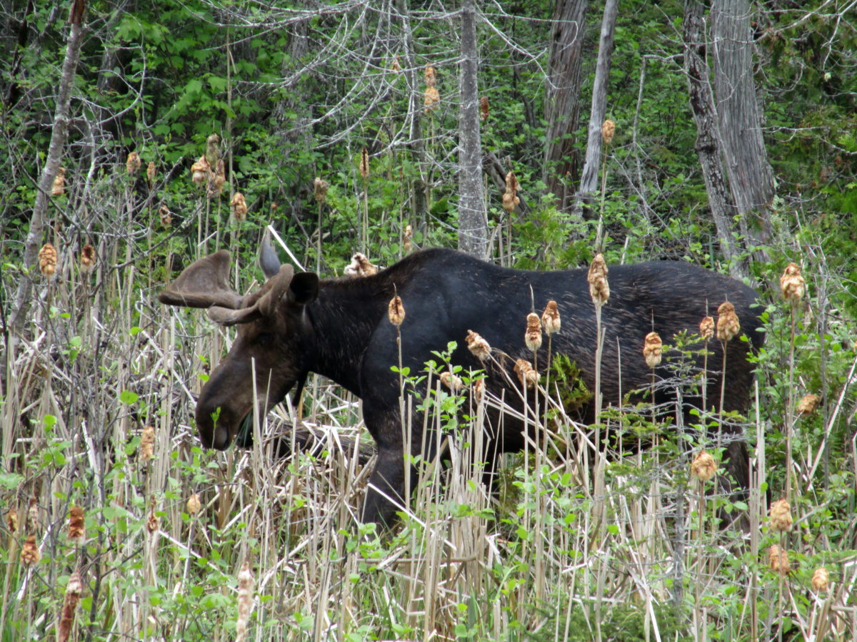
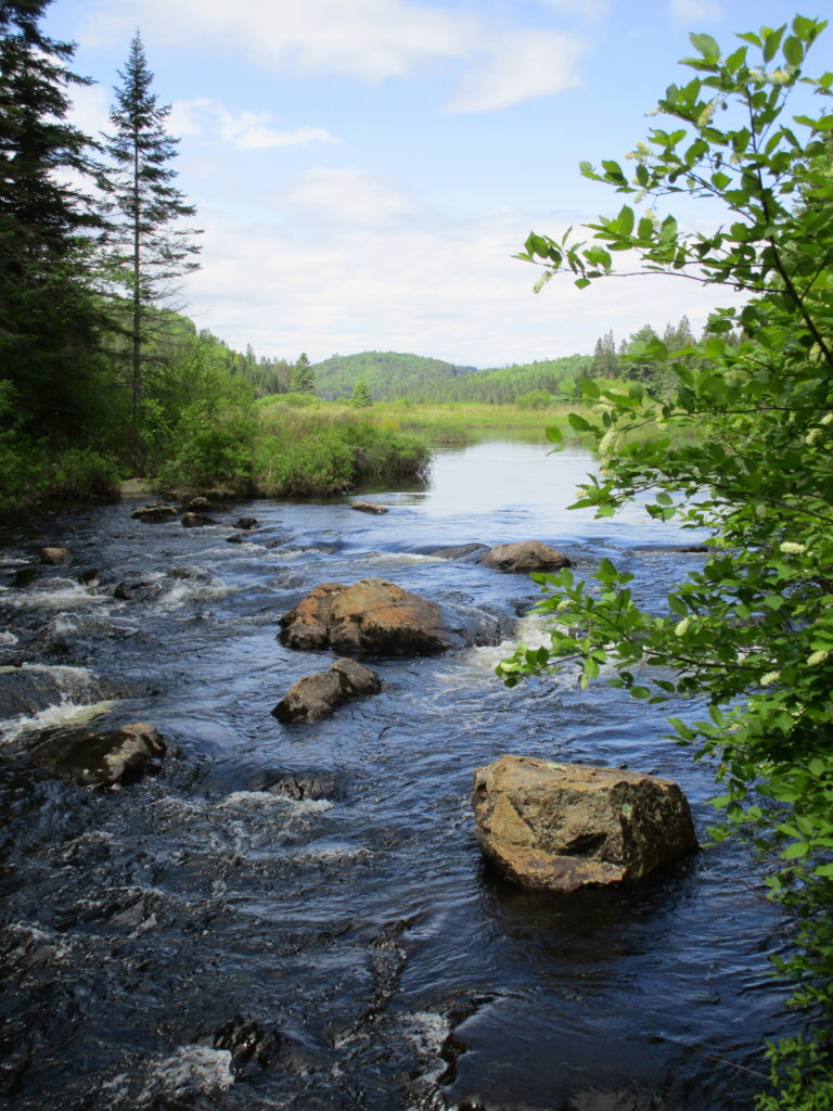
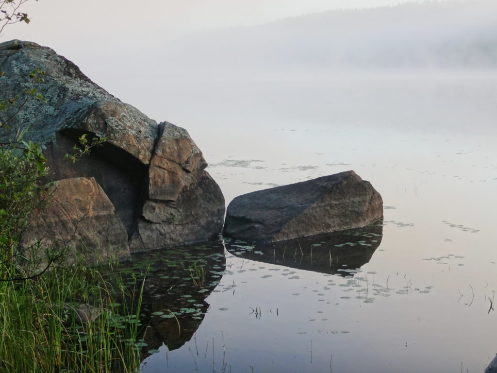
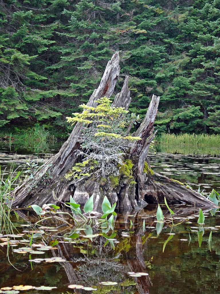
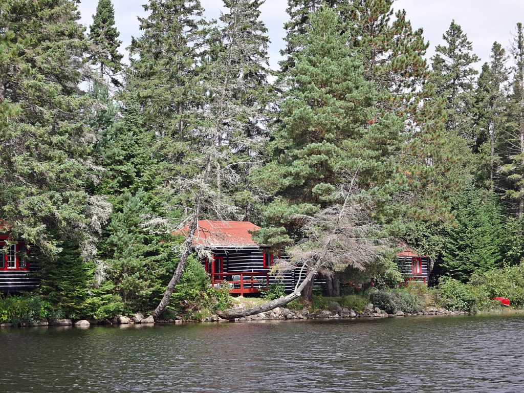
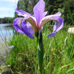
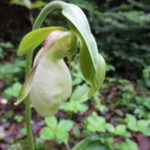
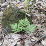
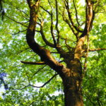
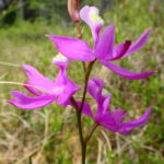
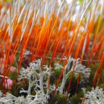
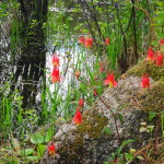
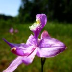
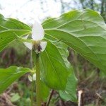
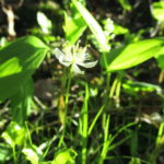
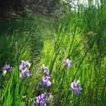
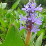
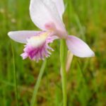
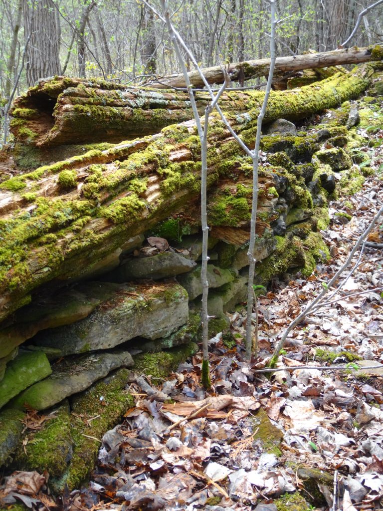
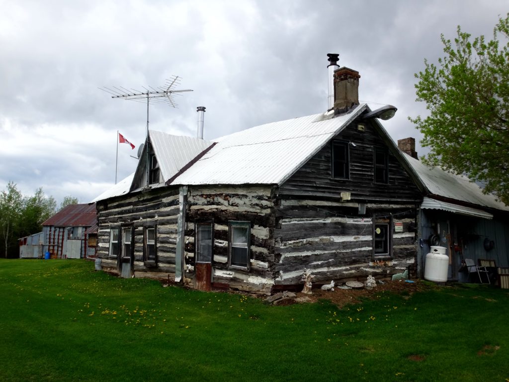
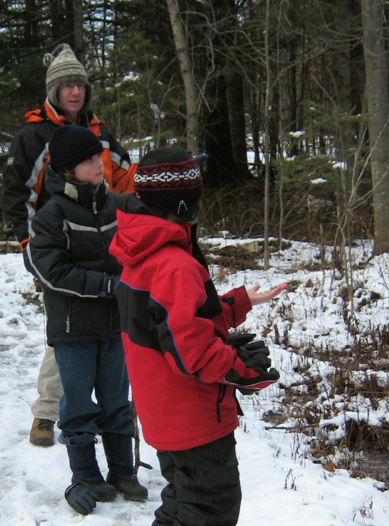
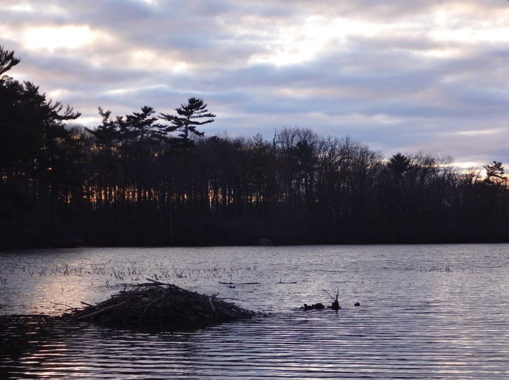
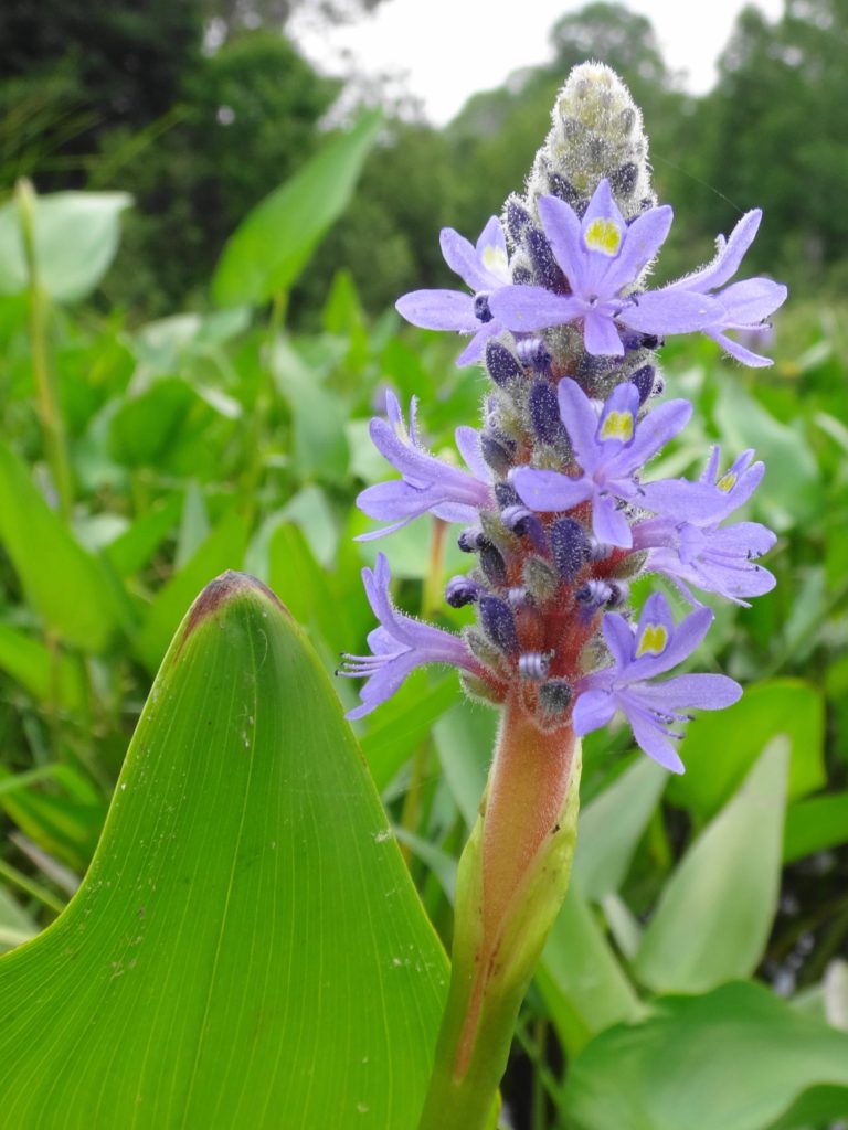
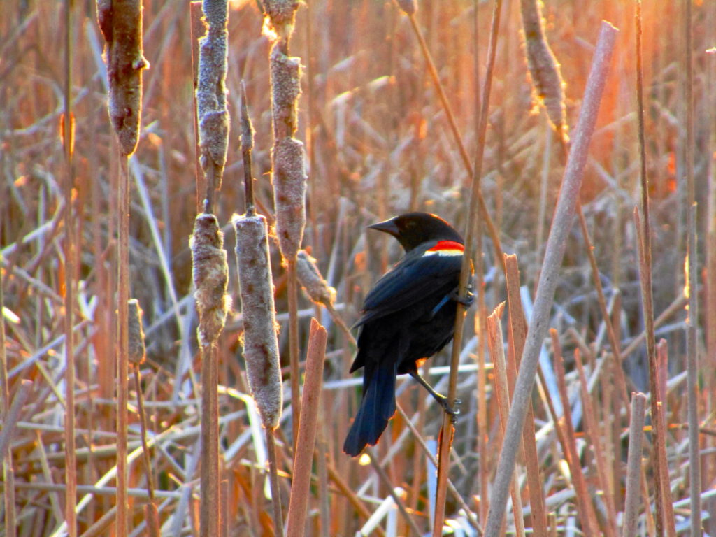
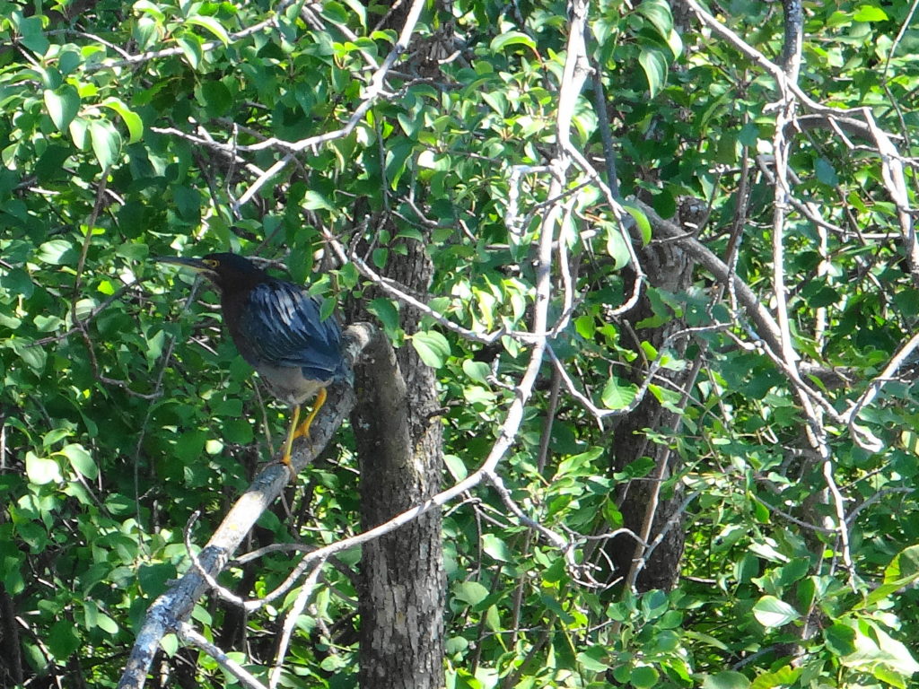
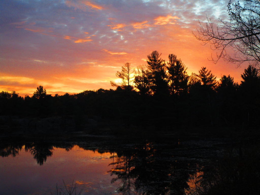
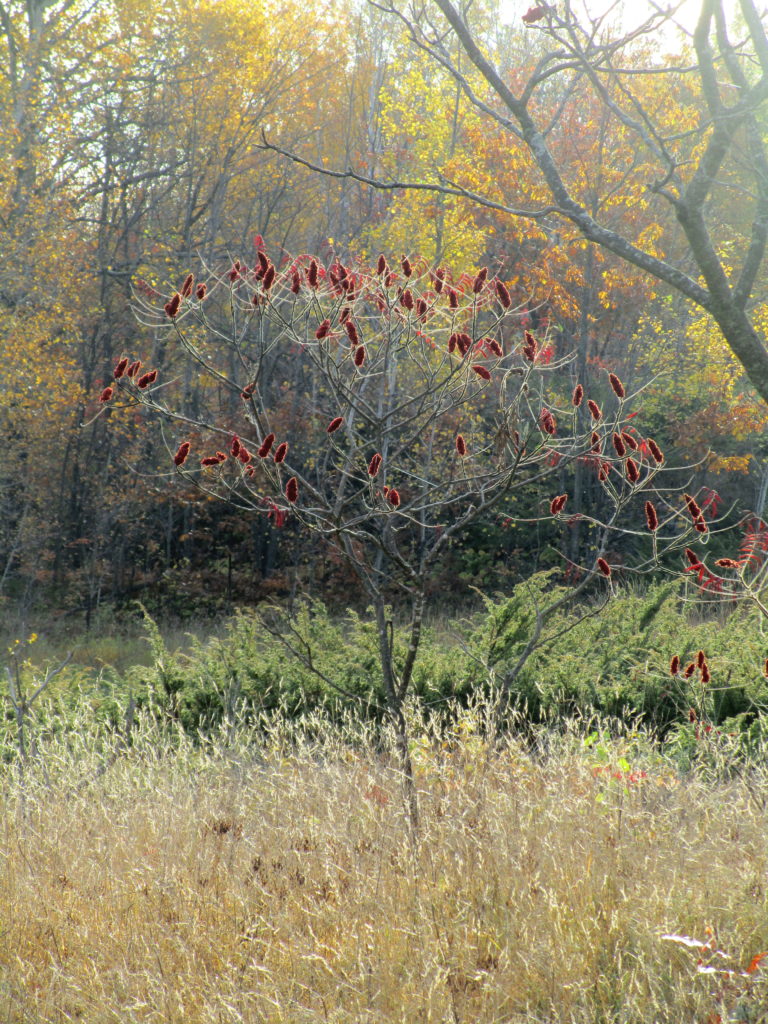
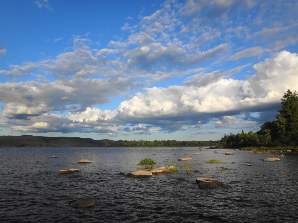
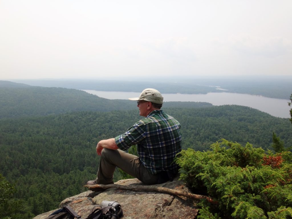
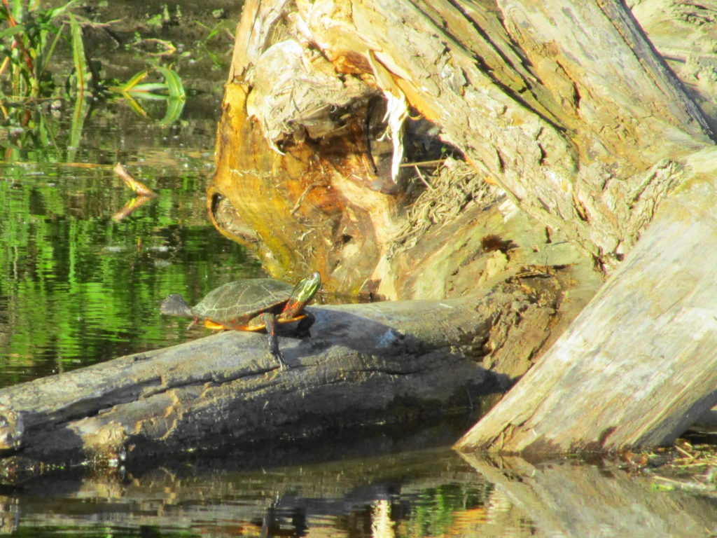
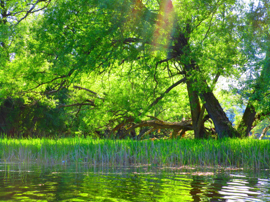
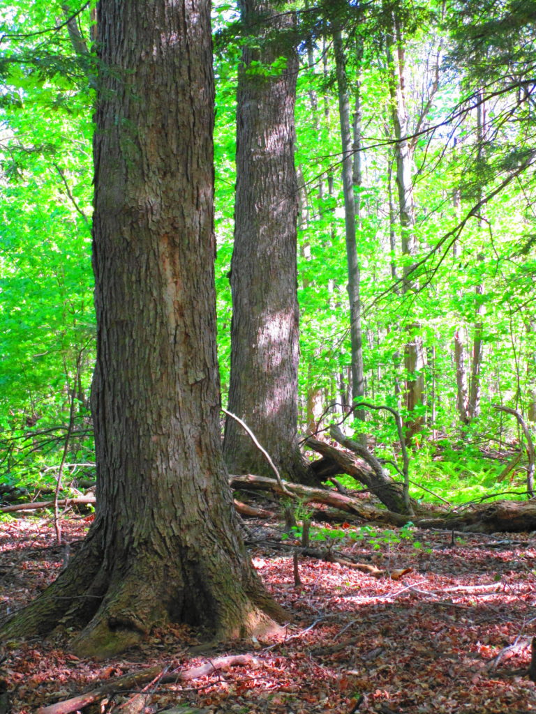
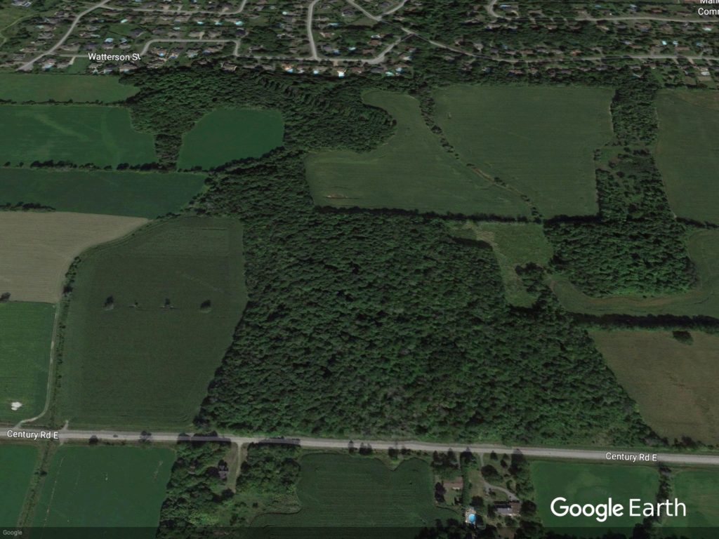
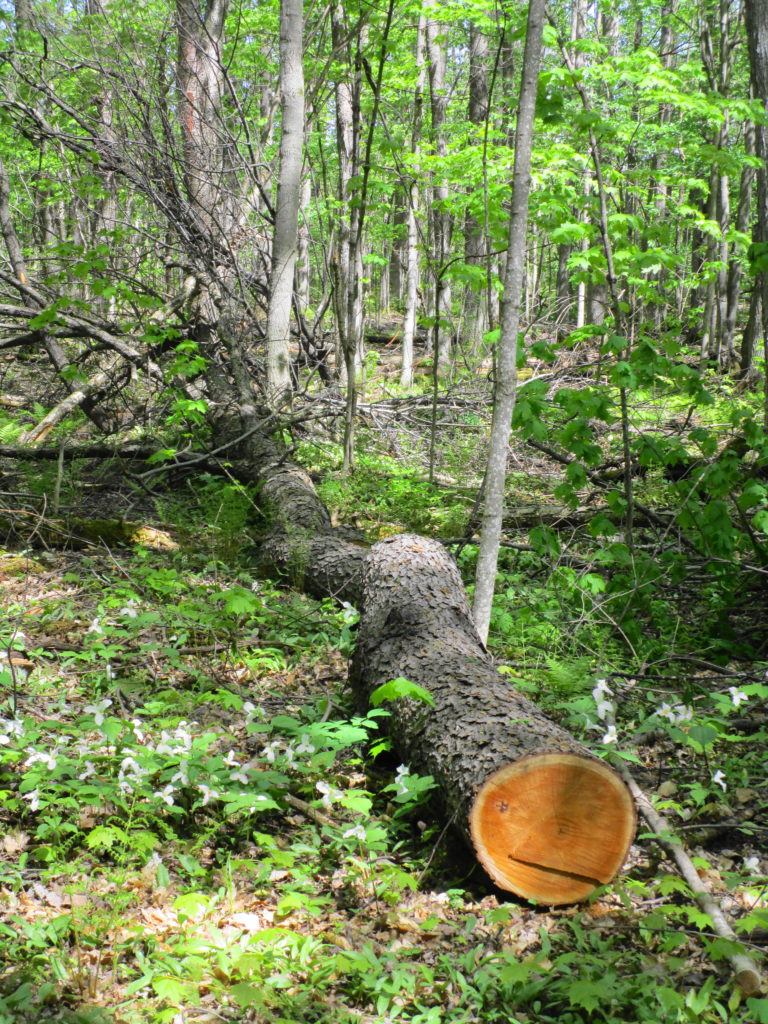
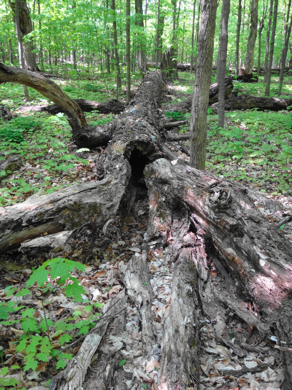
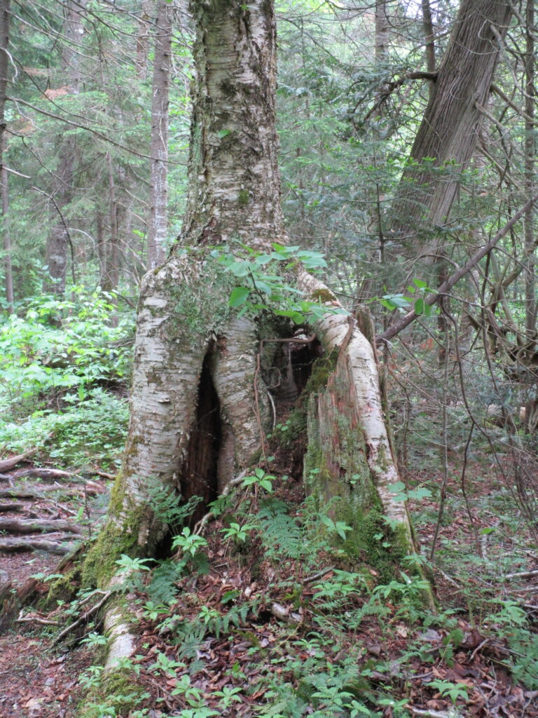
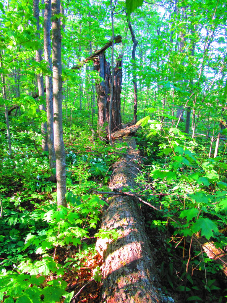
Francis/King Regional Park lies on the outskirts of Victoria, British Columbia.  On Saturdays, as a boy, I would often pack a lunch and ride my bike out past the suburbs and fields.  I would labour up the long curved hill to the parking lot, and then spend the day exploring the trails.  Just inside the edge of the forest beyond the main trailhead, a large, fallen tree lay rotting on the woodland floor.  Moss and lichens, ferns, wildflowers, and seedlings of every sort rooted themselves in the damp, pulpy wood.  A nearby sign read, “Nurse Log”.  A profusion of other saplings and young trees grew in the sunny gap where the old matriarch had laid down her life.

Do not mourn the passing of a forest tree.

Nurse Log

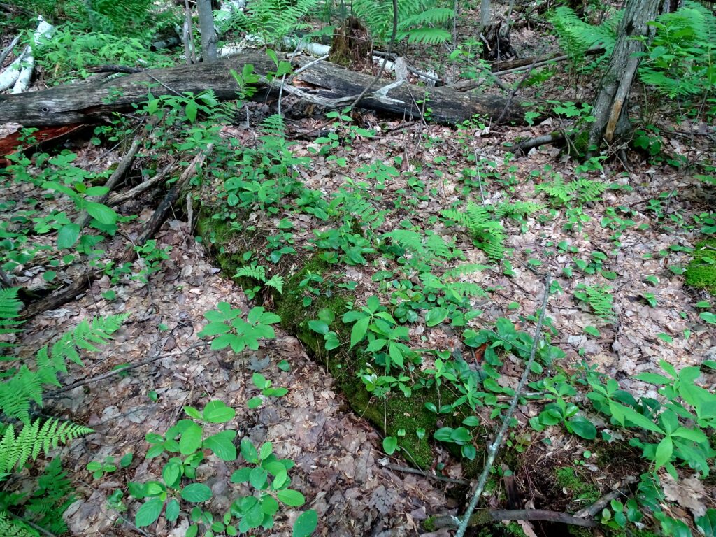
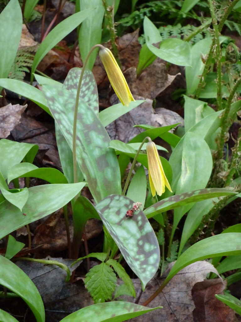
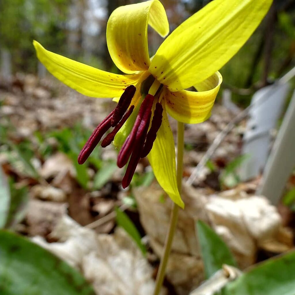
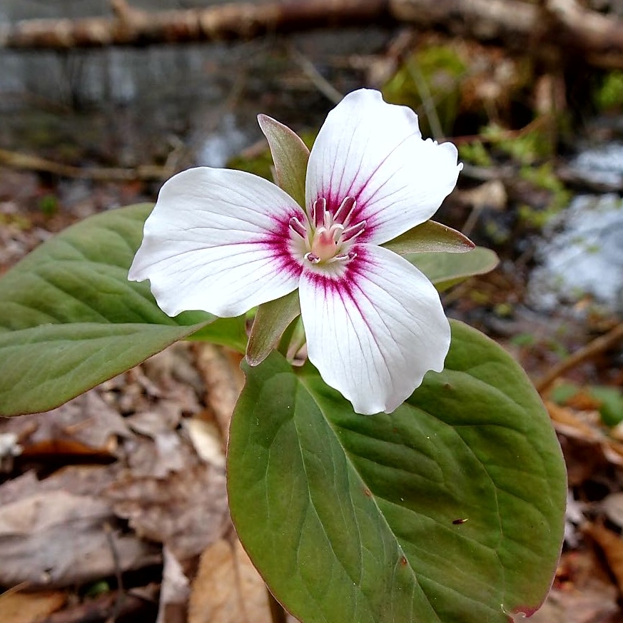
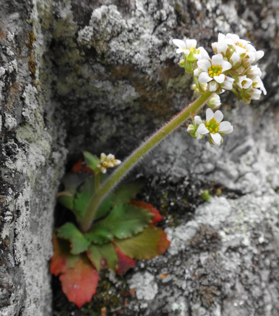
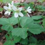
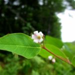
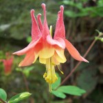
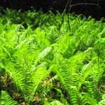
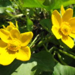
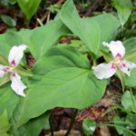
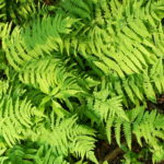
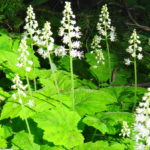
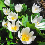
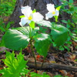
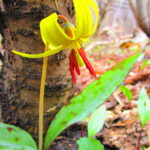
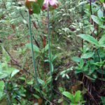
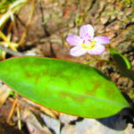
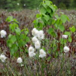
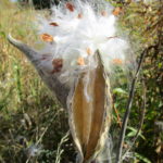
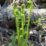
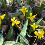
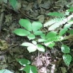
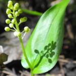
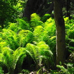
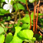
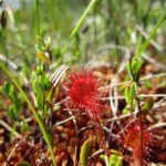
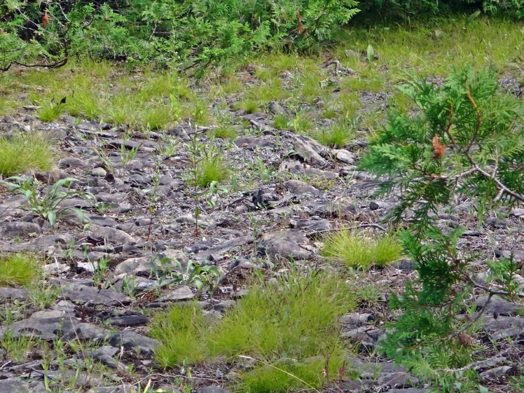
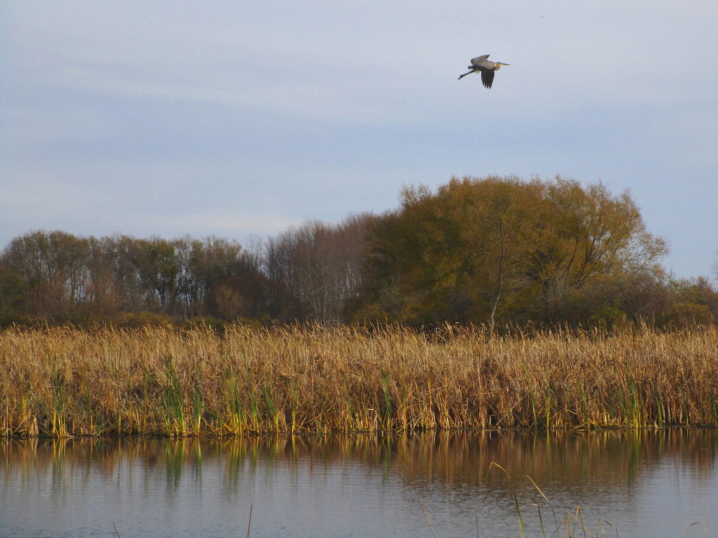
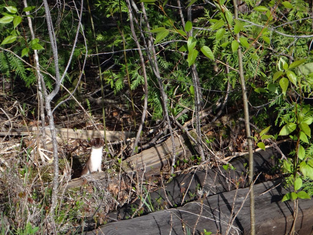
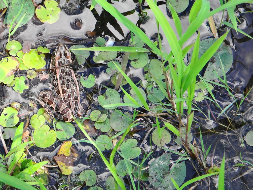
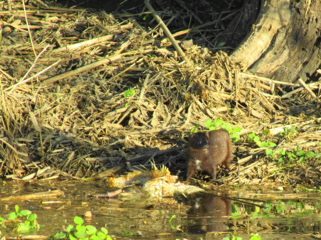
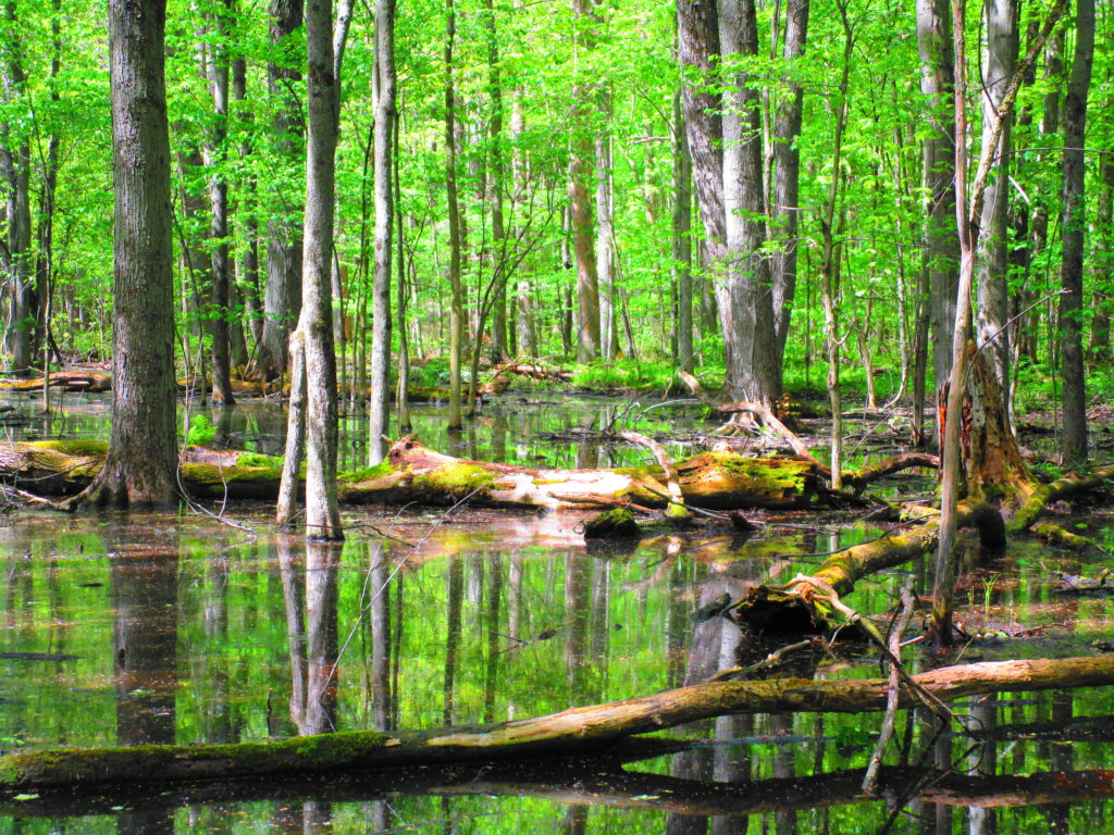
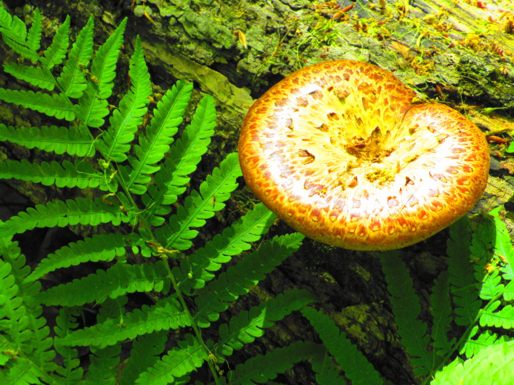
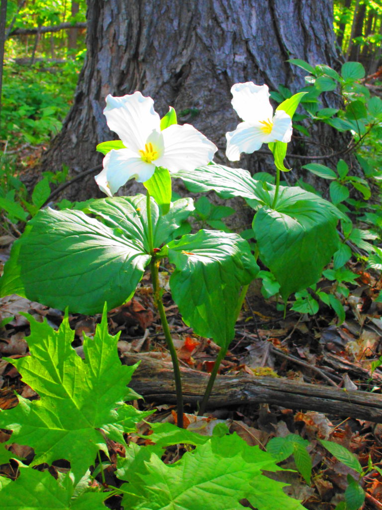
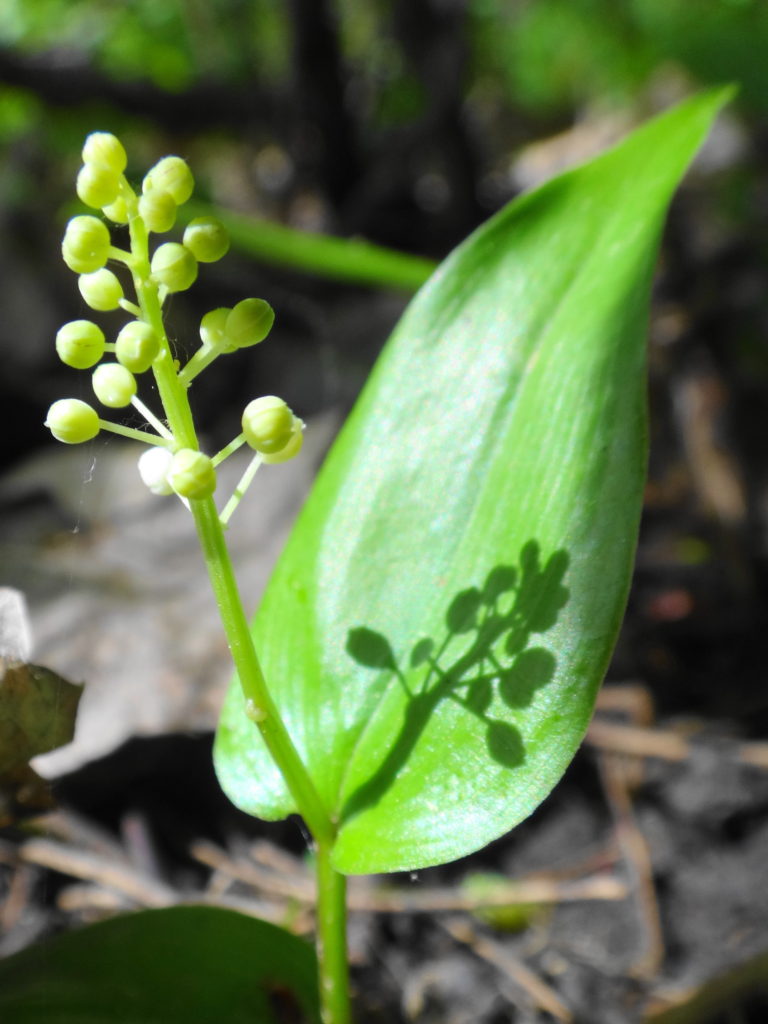
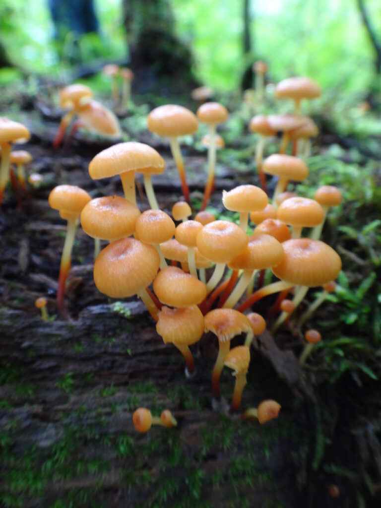
Forests recycle nutrients very efficiently. Long before a tree ever falls in a forest, other organisms have already begun to consume it: ants and beetles burrowing into the wood; fungi spreading their hyphae through the living and dead tissue. Down on the forest floor, the decomposition accelerates. More fungi and bacteria reach up from the soil to colonize the fallen log, secreting enzymes to digest the wood. Microscopic nematodes follow, grazing on the bacteria, fungi, and each other, while likewise providing prey for insects. Snakes, salamanders and small mammals hide and hunt through the decaying log. Mosses, lichens and herbs take root, escaping the thick leaf litter on the forest floor. Seedlings and saplings nestle in the damp, decaying wood. All the while, the old tree slowly sinks and spreads, returning to the earth from which it sprung a lifetime earlier.

Moss and Fungi Growing on a Nurse Log
Yellow Birch Rooted in a Decomposed Stump

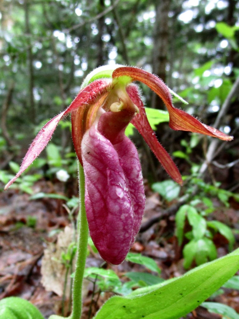
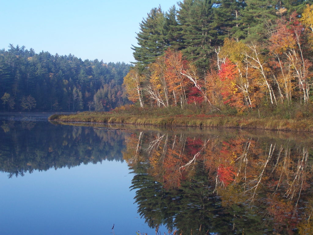
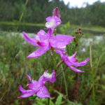
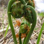
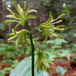
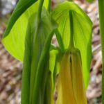
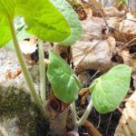
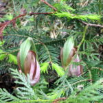
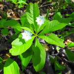
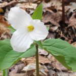
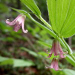
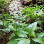
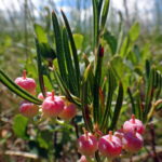
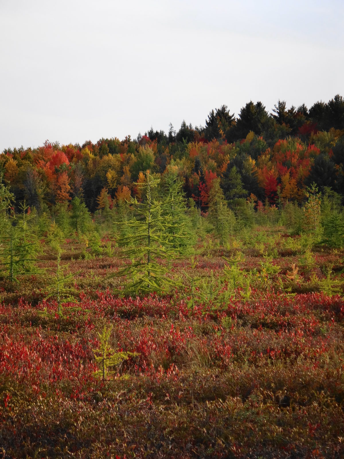
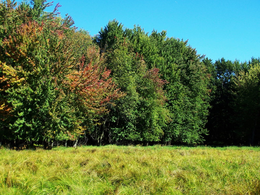
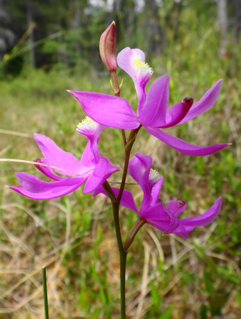
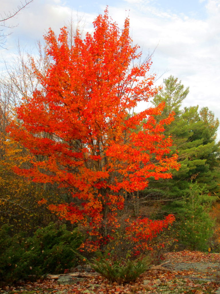
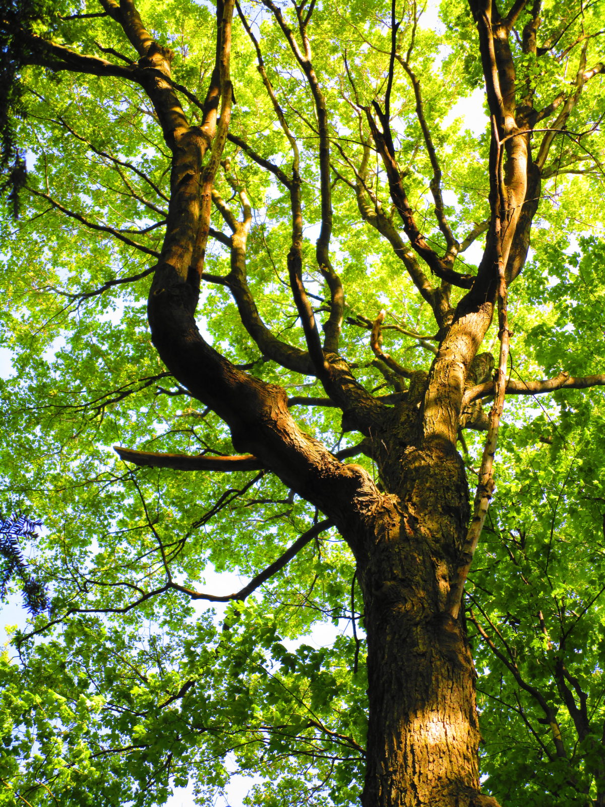
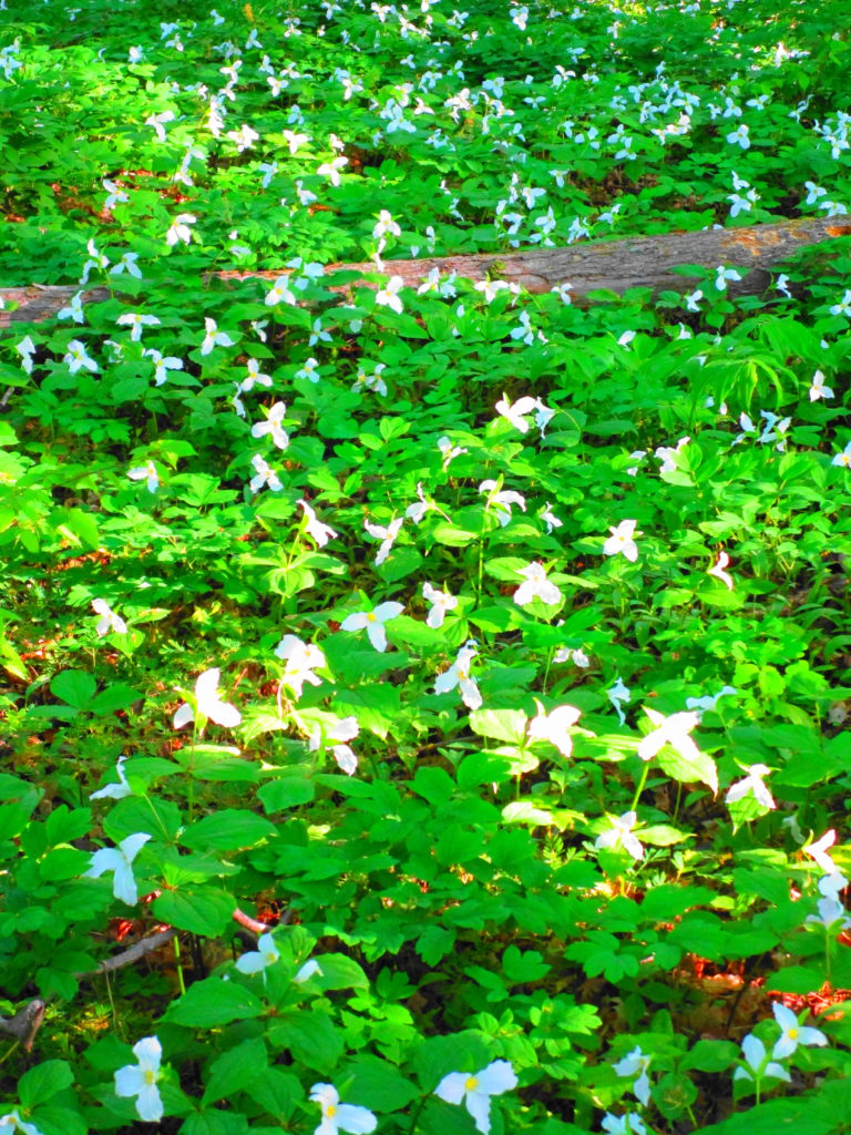
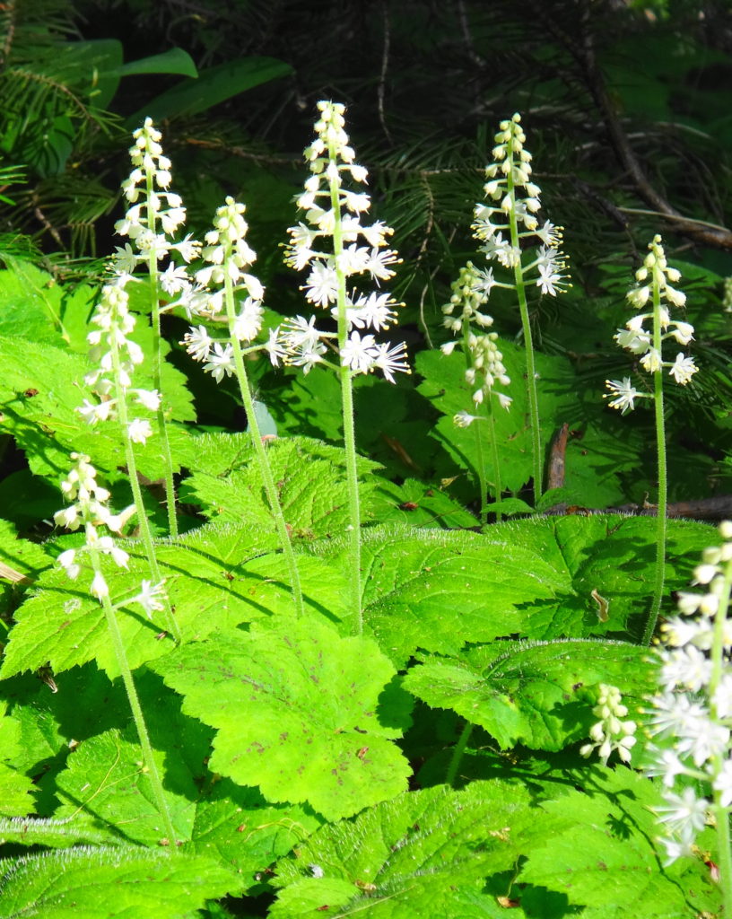
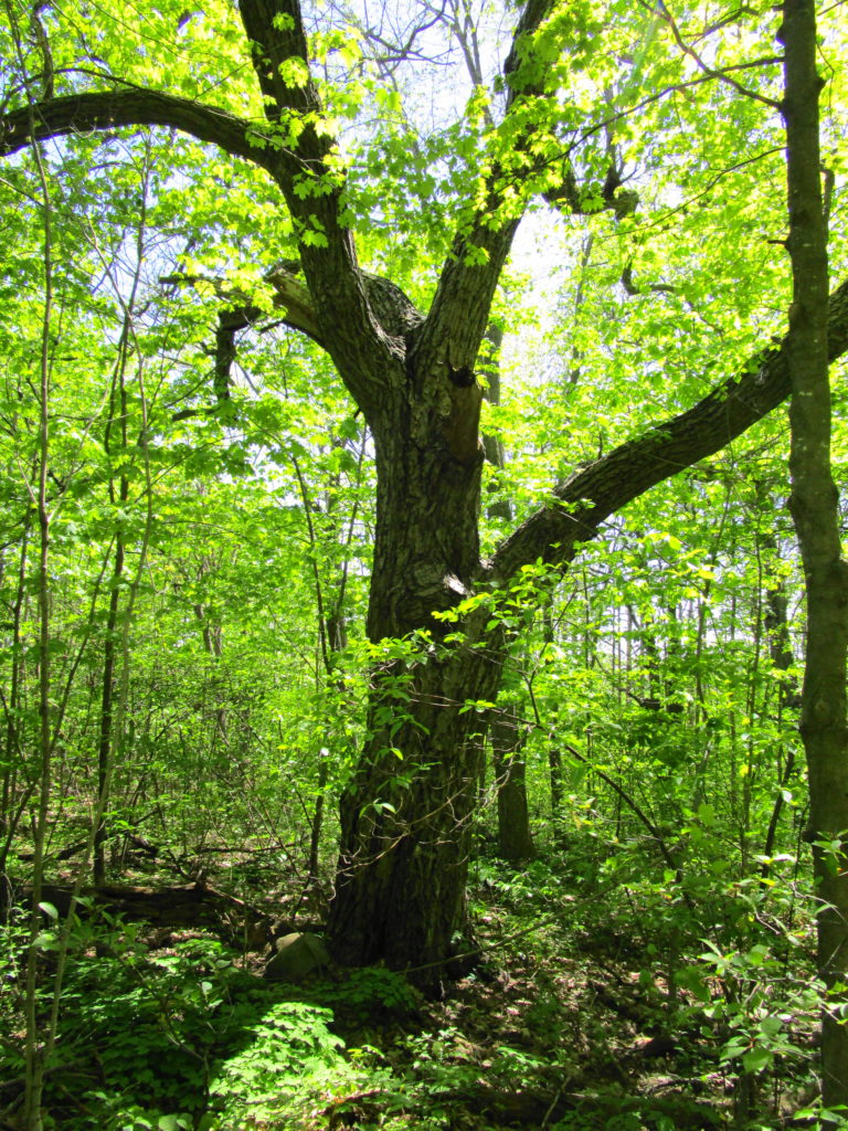
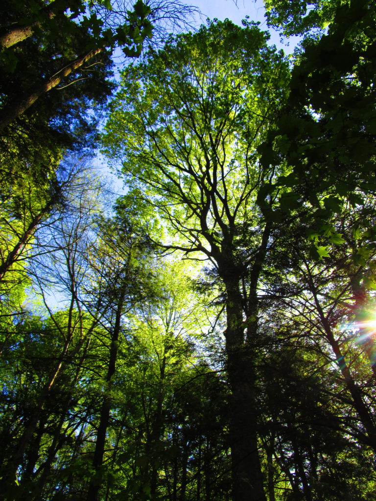
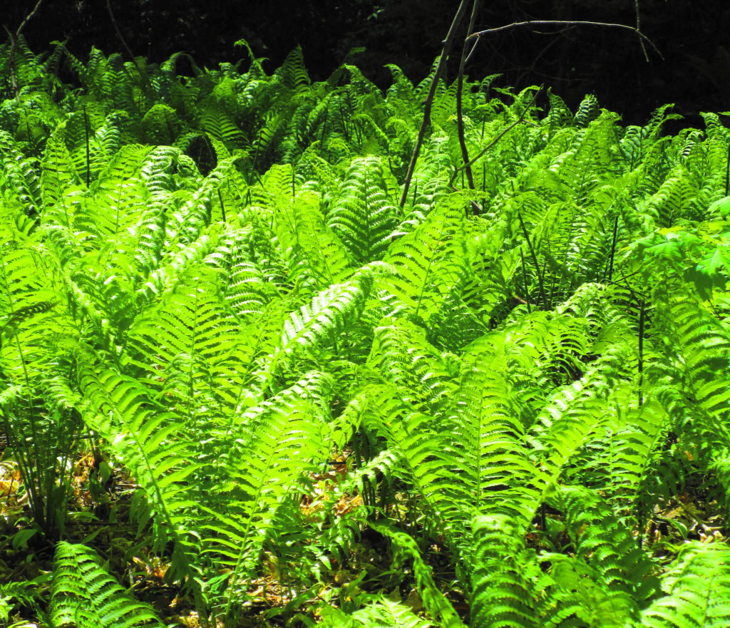
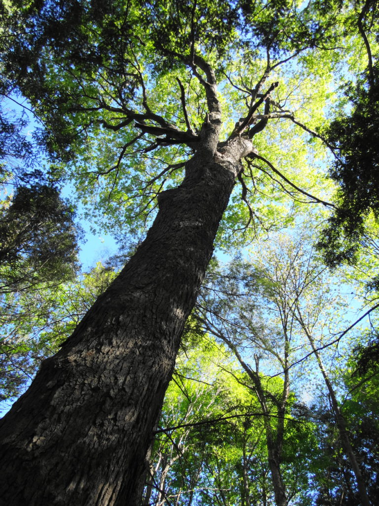
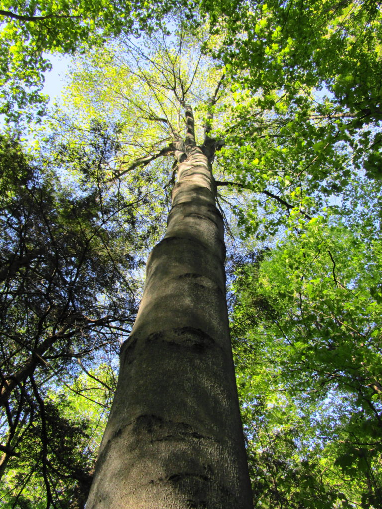
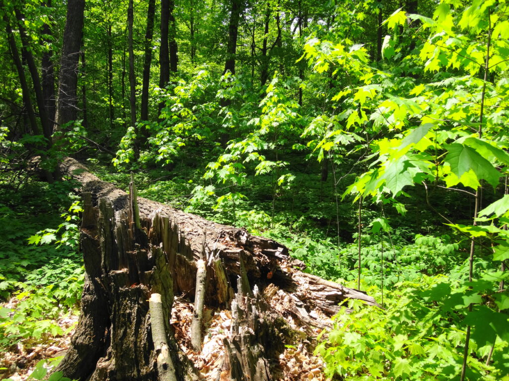
The death of a forest tree not only supports new life, but it opens space for that life to grow. Sugar maple, that beautiful queen of Canada’s eastern deciduous forest, casts a deep shadow over her subjects. Left undisturbed in the canopy, she monopolizes the sunlight. In her deep shade, her offspring blanket the forest floor. Only a few equally shade-tolerant trees possess the patience to wait her out: trees such as the graceful beech — slender branches questing outward for wayward flecks of light — and the amicable basswood, sprouting oversized leaves to capture the pale, green glow from above. Only her death frees them to reach for the sun.

In the language of forest ecology, the death of a canopy tree by cutting or natural causes initiates a process of single tree replacement. More often than not, in eastern and northern hardwood forests, sugar maple wins the race to fill the small gap. A cohort of seedlings springs upward into the space. Soon a few dominant saplings subdue the rest and fight for light, until only one remains. The gap provides insufficient light for less shade-tolerant species to overcome the advantage of sugar maple. Consequently, over time, single tree replacement tends to reduce the diversity of the forest canopy.

Single Tree Replacement in a Sugar Maple Forest

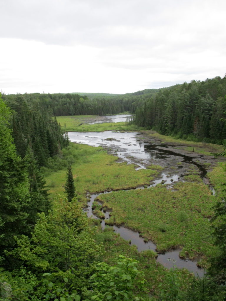
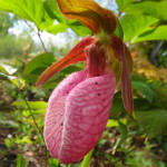
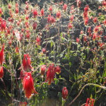
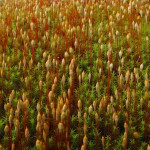
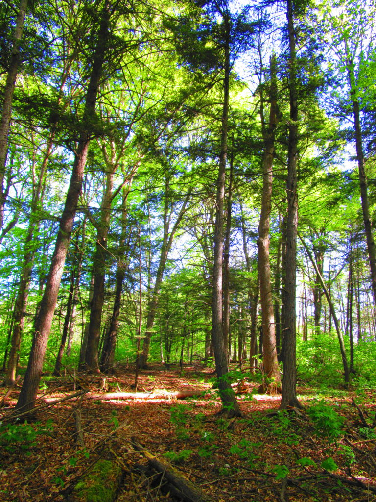
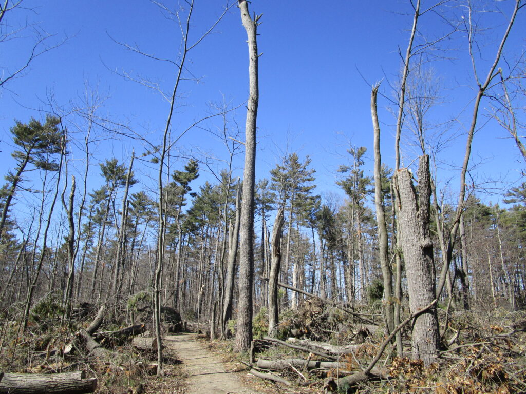
Only a large disturbance opens the canopy sufficiently to break the dominance of sugar maple. Sometimes the collapse of a particularly large tree brings down several other trees, opening a moderate gap that favours semi-shade tolerant trees like red oak, yellow birch or white pine. Periodically, a thunderstorm will unleash a local, violent microburst, breaking or flattening dozens of trees. In such a large gap, species like large-tooth aspen, white ash, and black cherry may find a favourable niche. In rare instances, a larger event — a tornado or a hurricane — will flatten many hectares of forest, creating a clearing in which early-successional species like trembling aspen and white birch may spawn solid thickets and stands.

Blowdown at the Britannia Conservation Area

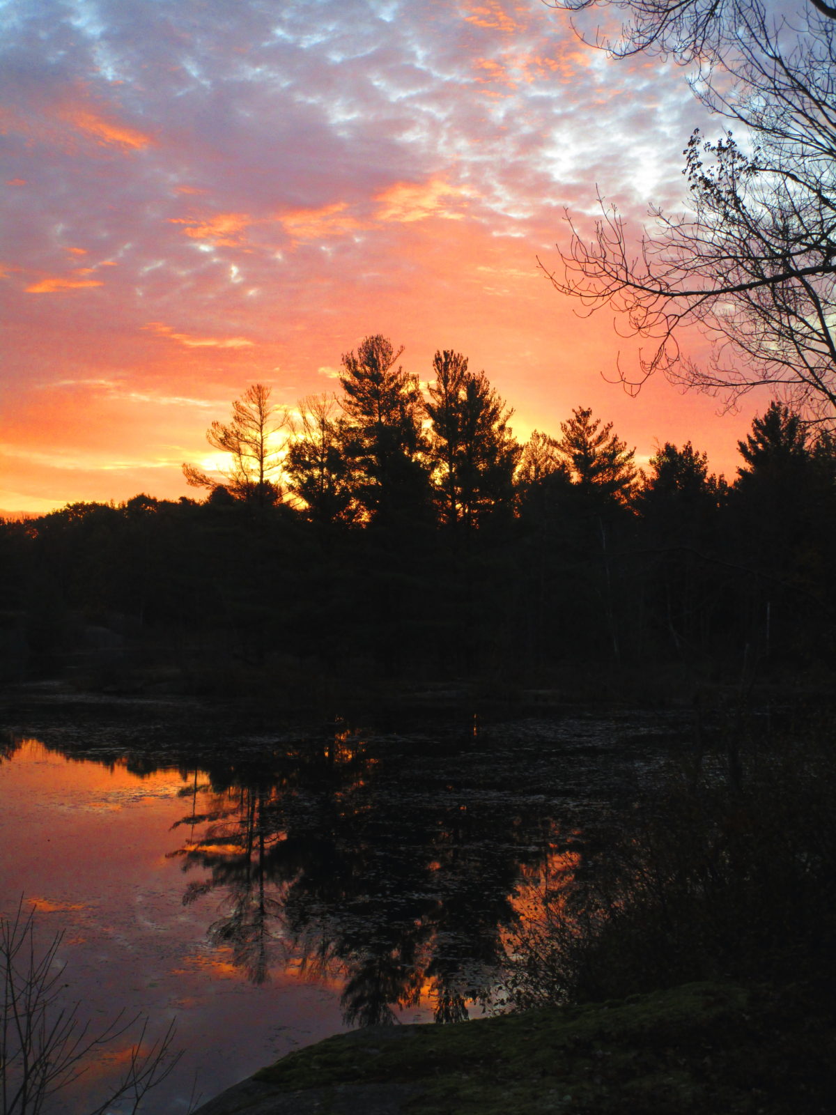
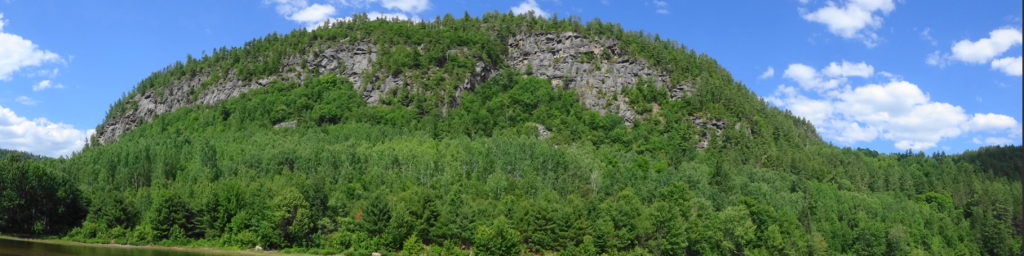
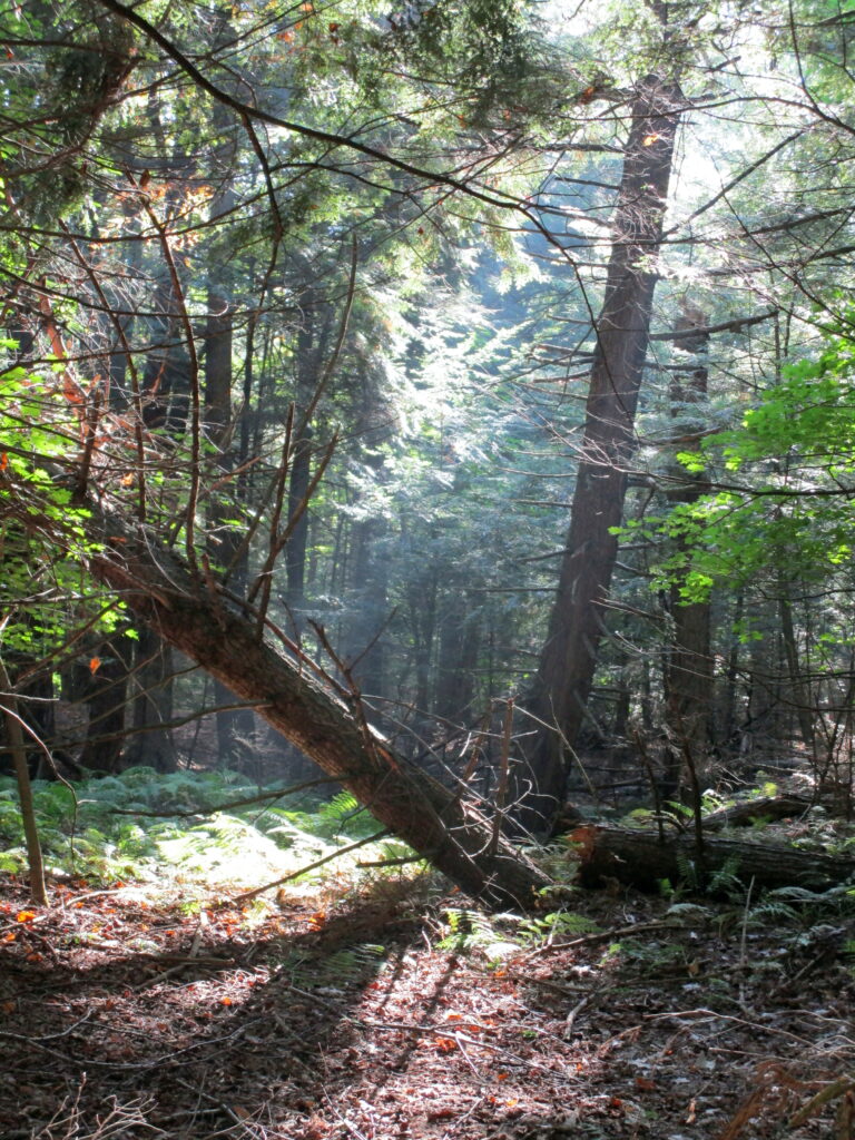
In time, the canopy will close and again cast the forest floor into shade. Maple seedlings will carpet the ground, ready to fill the gaps left by other trees. The forest will slowly return to its pre-disturbance state. Forest ecologists call this pattern of equilibrium, disturbance, and succession “gap dynamics.” Across the vastness of eastern North America’s deciduous forests, it maintains their marvelous diversity. It maintains a patchwork of habitats, large and small, for wildlife. It promotes the long-term stability and sustainability of the natural landscape.

The Slow Closing of a Forest Gap

Of course, we might find such a detached, scientific view hard to maintain when faced with the devastation of our favourite, local patch of forest. We think of our favourite woodlands as static. Someone might follow their favourite trail between the same towering pines for a lifetime, never perceiving their slow, incremental growth or decline. The loss of favourite tree or grove can strike like the loss of a dear friend. We grieve for them and for ourselves.

Death of a Giant

Hopefully we can find comfort in the knowledge that in a forest, every death brings new life. Perhaps we can find perspective and solace in the irrepressible force of life that continues regardless of loss, of change, of time? I doubt that any trace remains of the old log that lay in forest of my youth. But I know that its legacy continues.

Spring Ephemerals

In the northern hardwood forest, trout lily begins to bloom almost before the last snow melts in the deepest stands of fir or cedar. All winter, the root has slowly grown deeper into the earth; before the snow has melted, the shoot has begun to push through last autumn’s duff. The mottled, red and green leaves emerge all at once, seemingly overnight, to blanket the forest floor. Another day or two, and their drooping flowers unfurl to entice the early, forest pollinators. For a week, in the sun beneath the bare trees, they adorn the forest in yellow. And then they vanish before the spring has ended, withdrawn beneath the earth until the next awakening.

Two trout lilies begin to bloom on the forest floor. Their drooping yellow flowers rise above red and green mottled, lance-shaped leaves.
Trout Lilies
Trout Lily

Although they form an almost insignificant part of the biomass of the forest, trout lilies — in fact, all of the ephemeral spring flowers — have evolved to play an important recycling role in the ecosystem. In the early days of spring, these fragile wildflowers capture much of the precious nitrogen and phosphorous that would otherwise leach away into the earth with the snowmelt and spring rains. They bind the vital nutrients into their tissues for a few, critical weeks. Then, when the ubiquitous fungi have spread their hyphal nets through the forest litter, and when the trees have again sent their fine roots growing and scavenging through the shallow, organic soil, the decomposing trout lilies release what they have conserved.

A painted trillium on the forest floor.
Painted Trillium in the South March Highlands

Ottawa offers many wonderful places to observe spring wildflowers. I recommend the older, hardwood forests on Canadian shield, like the South March Highlands Conservation Forest or the Crazy Horse Trail in the Carp Hills. Pink Lake, in Gatineau Park, offers one of the most varied and beautiful displays. As the trail circling the lake climbs from the low, rich shoreline to lichen-encrusted bedrock, it passes through a range of micr0-habitats and soils. Each unique combination of light, moisture, and nutrients supports its own flora. Early saxifrage, my favourite spring flower, grows on the cliffs along the east side of the lake. Proof that, “life finds a way” (to quote Malcolm from Jurassic Park), it roots in cracks and crevices with only a dusting of soil to support it. According to the Canadian Encyclopedia, the name itself, saxifragus, means “stonebreaking”. It embodies for me the resilience and tenacity of life, especially after the long winter.

An early saxifrage blooms in a cluster of white flowers, emerging from a rosette of leaves clinging to a crevice in bare rock.
Early Saxifrage at Pink Lake
A red trillium at Pink Lake.
A Red Trillium at Pink Lake
Wild ginger growing at pink lake
Wild Ginger at Pink Lake
The yellow bloom of large flowered bellwort droops from its limp leaves.
Large Flowered Bellwort at Pink Lake

Spring ephemerals remind me that every trial — every long winter, every dark night, every storm, every spiritual drought — comes to an end. On some afternoon, we will feel the sun on our faces and catch the moist, redolence of life emerging from the earth. The scent will rise in our chests and head. Our eyes will see a little more clearly. Our steps will feel a little more light.

Algonquin Park

I fell in love in Algonquin Park.  We arrived with our sons at the Brent Campground late on a dark night, desperate for our sleeping bags.  Leaving her tent in the car for the night, I assembled my larger tent and then the four of us bundled into the cramped, humid space.  I slept fitfully and woke early, as the pale light seeped under the fly and through the nylon.  She lay facing me and I thought, “wouldn’t it be lovely to wake up to this face for the rest of my life?”  Later that warm, summer day, she turned cartwheels on the beach.  On the drive back to Ottawa, she put her bare feet on the dashboard and sang to the radio.

The author paddles his canoe across St. Andrew's Lake in the dusk.
Paddling on St. Andrew’s Lake, Algonquin Park (photo by Isabel Deslauriers)

Moose, Costello Creek, Algonquin Park

A loon creases the surface of the Lake of Two Rivers.
Loon, Lake of Two Rivers, Algonquin Park

Memories of Algonquin Park go back generations:  a dozen or so for settlers; 500 or more for Indigenous peoples.  A canoe glides over still water at dusk, while a loon calls across the lake, and a moose grazes in the shallows.  The face in the canoe changes over the centuries — Anishnabe, explorer, trapper, logger, camper, tourist — but the experience and wonder remain constant.  They imprint themselves on the individual and collective consciousness.

Of course, so do the blackflies.

I try to time my visits to Algonquin Park for early May, before the blackfiles and mosquitoes emerge, or for September after the first cold nights.  Not June.  Never June.  Except this year.  This year, the Fates seemed determined to thwart my plans:  critical meetings, slipping deadlines, family obligations.  I postponed my trip once, then again.  Early May slid by, then mid-May, then late May.  Not until the first week of June did I find myself pulling into the Mew Lake Campground.

The south branch of the Madawaska River bubbles over rocky shallows.
Madawaska River, South Branch, Algonquin Park

All that week, I crept early into my tent at night and rose at dawn.  For the first time in years, I didn’t light a fire.  When the sun came out, so did swarms of blackflies.  At night, or under the deep forest canopy, clouds of mosquitoes rose from the underbrush.  More than once, I retreated to the Lake of Two Rivers Cafe for lunch 0r supper for an hour’s respite.

Along the Spruce Bog Trail, mist-laden spider webs droop from shrubs in the early morning light.
Spruce Bog, Algonquin Park

Not once, though, did I regret the trip.  Morning mist rising from a lake or beading on a canvas of spiderwebs.  Pink ladyslippers blooming beside a trail.  A lichen-encrusted boulder reflected in a stream.  The rolling hills and forests spread below a fractured cliff.  The flush of new needles on a tamarack — “a little green”, as Joni Mitchell describes it.  The slap of a beaver’s tail somewhere out on dark water.  Moments of wonder and beauty capture in images and memories.

A silver maple emerges from the morning mist beside Brigham Lake.
Silver Maple in the Morning Mist, Brigham Lake, Algonquin Park

A perfect pink ladyslipper blooms beside the Peck Lake Trail.
Pink Ladyslipper, Peck Lake, Algonquin Park

In the early morning, the glassy waters of St. Andrew's Lake reflect lichen-encrusted boulders.
Still Life, St. Andrew’s Lake, Algonquin Park

A beaver pond and meadow lie below a high lookout.
Beaverpond Trail Lookout, Algonquin Park

Of course, memories needn’t always come with the scent of DEET.  Autumn may be the finest time to visit Algonquin Park, cool fire-lit nights and warm, bug-free days.  Early in the season, the lakes may still be warm enough to swim.  Colourful, quilted hills rise from shorelines.  Life at its most abundant, before the long migrations south and the long hibernation.  By the end of fishing season, the brook trout and lake trout have begun to emerge from the summer depths to chase a spoon or fly.  Amorous moose call from clearings and wetland meadows.  In the evenings, loons lament the shortening days.

Red and gold trees stand on the shoreline of the Barron River, reflected in the calm water.
Autumn Colours, Barron River, Algonquin Park

A golden maple and red canoes reflect in the water of Canoe Lake.
Cache Lake, Algonquin Park

A young spruce tree grows on a decayed tree stump in a back bay of the Madawaska River.
Madawaska River, Algonquin Park

I recall rising from my tent one morning before sunrise to look out over the Barron River.  Standing on the shoreline in the quiet darkness, I puzzled at the sound of crunching coming from both up and down the shoreline, as well as on the far shore.  Only later, in the growing light, could I make out the shapes of beavers in the shallows munching water lily roots like candy.  Later that same morning, as my son and I cooked breakfast at the fire, the alarmed chatter of a red squirrel alerted us to a pine marten peering around the thick trunk of a white pine.  In the afternoon, we pulled fat bass out of the river.

A pale peach and blue light heralds dawn over the Barron River.
Dawn on the Barron River, Algonquin Park

A boy sits under a tree with the Barron River in the background.
Camping on the Barron River, Algonquin Park

A young boy in a canoe holds up a fat bass.
Fat Bass, Barron River, Algonquin Park

On another, autumn weekend, my wife and I rented a shoreline cottage at Killarney Lodge.  Sitting on the deck in the sun, we read books, sketched, fed peanuts to the resident chipmunk, and looked forward to the next gourmet meal.  We rented bikes at the Lake of Two Rivers and cycled along the old rail line under gold and red trees.  We slept with the windows open, snuggled warmly under our thick blankets, welcoming the scent of the pines and the sound of wind in their branches.

The sun rises over the Lake of Two Rivers, as viewed from Killarney Lodge.
Sunrise over the Lake of Two River, Killarney Lodge, Algonquin Park

A pretty cottage sits under cedar trees on the shore of Lake of Two Rivers.
Cabin 3, Killarney Lodge, Algonquin Park

A woman stands astride a mountain bike on the Old Railway Bike Trail in Algonquin Park.
Cycling the Old Railway Bike Trail, Algonquin Park

A pencil sketch of a dead cedar tree leaning over the Lake of Two Rivers, with the far shore in the background.
Sketch, Lake of Two Rivers, Killarney Lodge, Algonquin Park

I have yet to visit Algonquin Park in winter, but would love to see it on one of those bright, cold January days, when the snow is dry and powdery, the spruce trees crack and creak, and the whiskey jacks complain at your passing.  I would like to see the steam rising from a beaver lodge, surrounded by the exploratory tracks of a wolf.  I would love to hear Raven croak a greeting and hear the rustle of his wings as he flies overhead.  I would love to follow an otter slide from lake to lake.  I would love to return to a warm fire and steaming cup of hot chocolate at night.

Some things, like hot chocolate, should be shared.  As much as I enjoy a solitary trip in Algonquin’s back country — quietly walking the trails, listening to the sounds of night, and rising silently in my own time — I almost prefer the shared experience.  Since the last ice age, 10,000 years ago, humans have travelled the waterways and ridges.  Where settlers now camp, Indigenous peoples once camped.  In the dense darkness of cedars, overgrown vision pits speak of ancient spiritual quests.  Decayed cabins and log slides lie mouldering beside waterfalls.  Logging trucks still rattle and bang along dirt roads, where trees fall to chainsaws.  Paddlers eat lunch on billion year-old Canadian Shield rock.  Travellers from around the world look out over the Sunday Creek Bog from the Visitors Centre, hoping (not without reason) to see a moose or a wolf.  People have always been here, and they will continue to be here.  The challenge is to ensure that Algonquin Park remains both a place to find Nature and to fall in love.

A faint peach light seeps above dark trees as dawn begins on Head Lake.
First Blush of Dawn, Head Lake, Algonquin Park

Two teenagers fish from a canoe in Algonquin Park.
Fishing in Algonquin Park

Mating dragonflies perch on a pile of camping equipment in the bottom of a canoe.
Hitchhikers in the Canoe, Barron River, Algonquin Park

Friends share a lunch on boulders deep in the Barron Canyon.
Lunch in the Barron Canyon, Algonquin Park


Wildflowers and other Plants

The Marlborough Forest – Part One

Ottawa’s largest natural area lies in the south end of the City, largely unknown to most residents.  A 200 km2 patchwork of forest and abandoned homesteads, swamps and fens, dusty forestry roads and claustrophic thickets — it hides off the beaten path, protecting its secrets.  Only one road crosses it, Roger Stevens Drive, which bisects it from east to west.  Dwyer Hill Road skirts in and out along its west side.  A few other public roads probe the edges, ending either in cattails or locked gates.  One doesn’t stumble upon the Marlborough Forest; a visit requires purpose and intent.

A moss-covered, cedar rail fence decays on an fieldstone wall along a trail in the Marlborough Forest.
Cedar Rail Fence — Marlborough Forest

A city-owned, heritage log farmhouse lies under a grey sky on a farm in the Marlborough Forest.
Heritage Farmhouse – Marlborough Forest

For much of the year, the Marlborough discourages exploration.  In winter, winds stream bitterly across flat peatlands and old fields, sculpting snow into ripples and waves, and piling it deep under bare hardwoods, while deer seek shelter in dark groves of cedar and spruce.  In spring, meltwaters pool behind beaver dams, submerge roads and trails, and turn tracks into clay quagmires.  In summer, plagues of mosquitoes and deer flies swarm in the hot, dry air to torment both human and beast.  In autumn, the crack of hunters’ rifles warns against casual hiking.

The wind sweeps across the snowy expanse of the Phragmites Fen.
Phragmites Fen – Marlborough Forest

And yet, the Marlborough offers moments sublime and increasingly rare.  The low, winter sun glinting off deep snow may highlight the tracks of a fisher crossing between trees or an otter crossing between creeks.  A humid and buggy trek through a swamp may lead to the open, fresh air of a fen, where orchids rise from pale green sphagnum like small, purple flags.  In the stillness of a darkening, plum sky, bats may flitter along the edge of a clearing, while whip-poor-wills call plaintively.

An endangered eastern prairie fringed orchid grows in a fen.
Eastern Prairie Fringed Orchid – Marlborough Forest

A close-up photograph of bog rosemary in the Phragmites Fen, Marlborough Forest.
Bog Rosemary – Marlborough Forest

A common nighthawk hides in plain sight in a rocky clearing in the Marlborough Forest.
Common Nighthawk – Marlborough Forest

An enlarged and cropped version of the previous photograph shows the common nighthawk blending into the rocky clearing.
Common NIghthawk – Enlarged

Perhaps because of its isolation, any intrusion on the quiet of the Marlborough feels more agregious.  In the sharp winter air, the whine of snowmobiles announces their presence minutes in advance.  In the murmur and buzz of a summer afternoon, the grumble of ATVs stalks the forest like a disgruntled bear.  Nonetheless, the Marlborough has survived because of its history of public use.   More than half of the forest lies in public ownership, a legacy of Ontario’s Agreement Forest Program.

A snowmobile trail crosses a field in the Marlborough Forest.
Snowmobile Trail, Marlborough Forest

The Agreement Forest Program ran from the 1920s until 1998.  The program aimed to repair the damage done by the previous 150 years of deforestation in Ontario.  On abandoned lands — lands stripped by poor logging practices, scratch farms, and wildfires — the Province began a program of reclamation and rehabilition.  Many of Ottawa’s protected natural lands date from this time:  places like the Cumberland and Larose Forests in the east, the Marlborough Forest in the south, and the Torbolton Forest in the west.

Sunlight lluminates a pathway through conifers along the Cedar Grove Trail.
Cedar Grove Trail, Marlborough Forest

The Cedar Grove Trail, off Roger Steven’s Drive, provides a pretty introduction to the Marlborough Forest, ideal for a sunny winter day of snowshoeing or skiing (https://ottawa.ca/en/residents/water-and-environment/air-land-and-water/greenspace#south).  This short trail circles a small lake and takes about 1 – 2 hours to complete at an easy pace.  En route, it passes over a short weir, crosses a meadow, and threads through hardwood and cedar forests.  At first, the forest seems quiet, except perhaps for the distant buzzing of snowmobiles.  But a few minutes of walking and listening soon corrects that perception.  Chickadees and nuthatches twitter and flit among the trees, always ready to alight on an outstretched hand for peanuts and sunflowers seeds.  Downy and hairy woodpeckers tap in the treetops.  Pileated woodpeckers hammer deeper in the woods.  With a deep “croak” and the susurration of wings, a raven passes overhead.

Two boys hold out seeds for chickadees in the Marlborough Forest.
Feeding Chickadees – Marlborough Forest

Roger’s Pond, Cedar Grove Trail, Marlborough Forest.

Other life remains hidden behind the cedars or sheltered under the snow.  The tracks of white-tailed deer, squirrels, and hares cross the trail.  The delicate footprints of a white-footed mouse emerge from a tunnel beside a log and end at a small pile of seeds. Under the pond ice, beavers venture from their lodge to retrieve twigs from their food pile.  Under the clearer ice by the weir, a close eye may find water beetles still hunting in the gently flowing stream.

A line of deer tracks runs back into a stand of small conifers.
Deer Tracks – Cedar Pond Trail, Marlborough Forest

An rough shelter provides a resting place along the Cedar Grove Trail.
Hiking Shelter – Cedar Grove Trail, Marlborough Forest

I haven’t visited the Cedar Grove Trail outside of winter, but I imagine it equally as lovely.  I’d opt for autumn, after the mosquitoes and deer flies, when the golden foliage along the pond should glow against the darker conifers.  I can picture a frosty early morning walk, with the sun just touching the down of milkweeds in the meadow, perhaps a delicate rime on the leaves and grasses, and a beaver silently creasing the pond toward home.  A faint mist might lie on the water.  Along the forest edge, the sun might catch the flash of a white tail, as a deer vanishes into the wood.

Wetlands

Wetlands receive very little respect in literature.  J.R.R. Tolkien, in particular, seems to have had low regard for them.

“The ground now became damp, and in places boggy, and here and there they came upon pools, and wide stretches of reeds and rushes filled with the warbling of little hidden birds.  They had to pick their way carefully to keep both dry-footed and on their proper course.  At first they made fair progress, but as they went on, their passage became slower and more dangerous.  The marshes were bewildering and treacherous, and there was no permanent trail even for Rangers to find through their shifting quagmires.  The flies began to torment them, and the air was full of clouds of tiny midges that crept up their sleeves and breeches and into their hair….  They spent a miserable day in this lonely and unpleasant country.  Their camping-place was damp, cold, and uncomfortable; and the biting insects would not let them sleep.  There were also abominable creatures haunting the reeds and tussocks that from the sound of them were evil relatives of the cricket.  There were thousands of them, and they squeaked all round, neek-breek, breek-neek, unceasingly all the night, until the hobbits were nearly frantic.” — The Fellowship of the Ring.

Tolkien later takes Frodo, Sam, and Gollum into the Dead Marshes, an even more unpleasant place by his description — where bog gasses flicker like will-o-wisps and corpses lie preserved in fetid pools.

Tolkien, that tweedy professor, clearly had never stood in a deer track in an open, sunny fen with a breeze stirring the drooping reeds, dragonflies and damselflies dancing overhead, sedge wrens rattling in the rushes, and dense spikes of orchids rising from the spongy, peat mat.  He’d never paddled a canoe at dawn through a flooded cathedral of maples or bald cypress, watched by a wary heron.  He’d never sat beside a marsh at dusk, flipping a plug toward the lily-pads and watching a beaver crease the copper reflection of sunset on the water.

A woman meditates on a deck overlooking a wetland in the Four Seasons Conservation Forest, Deep River
Wetland, Four Seasons Conservation Forest, Deep River

The sun sets on the Upper Poole Creek Wetland.
Upper Poole Creek Wetland

I spend more time in wetlands than most people, both for work and pleasure.  Unlike Tolkien’s poor hobbits, I have accepted the two inevitabilities of happy wetland exploration:  water and bugs.  I embrace the first.  Unless hypothermia threatens, boots and hip-waders are better left at home.  A pair of old runners — “bog shoes” — and long pants tucked into socks make for easier and more enjoyable wading.  I tolerate the second, helped by slatherings of picaridin or DEET.  With walking stick or paddle in hand, I follow the windings of marshy channels, clamber and slog through alder and ash swamps looking for fens, or pierce dense spruce thickets and ford moat-like laggs to stand upon a bog.

Reknowned naturalist, Michael Runtz, walks ahead along a deer trail in the Phragmites Fen.
Entering the Phragmites Fen with Michael Runtz

Wetlands, much like coral reefs or rainforests, display life at its most exuberant.  They literally overflow with the most precious substance in the universe, water:  H2O, that wondrous, bipolar, lipophobic molecule; miraculous solvent; force of nature; cradle of creation.  From the smallest plants on earth to some of the largest, life rises upwards from wetlands.  Scoop a handful of marsh water from a canoe and see life swimming and writhing in your palm.  Stand within a circle of reeds, close your eyes, and hear hidden life rustle, hum, buzz, and sing about you.  Raise your face to the emerald canopy of a red maple swamp and watch life transform sunlight into substance.

The autumn sun shines on an open marsh meadow and maple swamp.
Maple Swamp and Marsh Meadow, Stony Swamp

Ottawa and the Ottawa Valley differ from much of Southern Ontario in that they retain most of their original, pre-European wetlands.  Other areas south of the Canadian Shield have experienced the loss of up to 95% of their wetlands to urbanization and agriculture.  In addition to the direct loss of wetland habitat and biodiversity, these losses have robbed the landscape of much of its ability to retain water, nutrients, and pollutants — contributing to a array of environmental problems, including toxic algal blooms in Lake Erie.  In Ottawa, where about 60% of our original wetlands remain, the Rideau Valley Conservation Authority has calculated that they reduce peak floodwater elevations by about 10%.  In doing so, they protect property and homes in both the rural and urban area.

A great blue heron flies over a marsh.
Restored Wetland, Carp River Floodplain

Circumstance rather than foresight has protected Ottawa’s wetlands.  Although protections now exist for much of the City’s wetlands, all of the larger wetlands bear the scars of previous attempts at drainage.  Even in Mer Bleue, an internationally significant RAMSAR wetland, abandoned drainage ditches and channels cut knife-like through the 10,000 year-old bog, easily visible on Google Earth.  Many of these attempts failed simply because the land proved too flat to drain efficiently.  Flat or near-flat plains of shallow limestone bedrock and clay cover about 2/3 of the City’s landscape, often pockmarked by shallow depressions.  Even where larger creeks and rivers, like Bearbrook or the Carp, have carved channels, they often flow slowly through wide floodplains lined by old oxbows, backwaters, and marshy swales.

An aerial photograph shows a long ditch bisecting the Mer Bleue bog.
Mer Bleue Ditching

A marsh lies in the floodplain of the Mississippi River.
Mississippi River Wetland

Since the mid-20th century, in fact, Ottawa’s wetlands have made a come-back, in large part thanks to the resurgence of beavers.  For nearly 200 years, beavers had become rare in the Ottawa Valley, eliminated in the 17th and 18th centuries by the combination of the fur trade, uncontrolled logging, and agricultural land clearing.  By the end of the fur trade in the mid-19th century, the focus of trapping had shifted far west and north.  Around the 1950s, however, beaver populations began to recover and to rec0l0nize their old ranges.  At the same time, marginal farmlands had been abandoned across eastern North America and forests began to regrow, providing food for returning animals.  In Ottawa, historical aerial photography shows beavers re-settling the area through the 1970s and 1980s, with populations reaching a peak in the mid-1990s.

A beaver lodge and food pile sit at the edge of thicket swamp.
Beaver Lodge and Food Pile

Signs of beavers appear everywhere, even in the heart of Ottawa.  A walk along any one of the City’s larger urban creeks is liable to reveal a dam or a lodge tucked into a quieter reach.  Stony Swamp, in the National Capital Greenbelt, contains the popular Beaver Trail, and Mud Lake, in Britannia, provides a favourite location for photographers seeking that iconic image of a beaver at dusk.

In the dusk light, a beaver lodge is silhouetted against the grey lake water, with a pine-covered shoreline in the background.
Mud Lake Beaver Lodge at Dusk

A large snapping turtle rises for a breath of air at Mud Lake.
Mud Lake Snapping Turtle

The real impact of beavers, however, has been felt in the rural area — both for good and ill.  That long-time chronicler of Ottawa’s natural history, Dr. Fred Schueler, has suggested that the return of beavers may be responsible for an apparent resurgence of threatened Blanding’s turtles in the region.  In fact, many scientific studies have demonstrated the immense benefits of beaver ponds and beaver meadows for biodiversity:  for everything from bugs and bats to moose and wolves.  However, those benefits seem poor consolation to a farmer who has seen acres of his grandfather’s fields and woodlots turned to marsh and swamp.  Sometimes the costs of those societal benefits come at the expense of individual landowners, with no compensation.  Given the robust health of Ottawa’s beaver population, I cannot fault a farmer who feels the need to trap a beaver — although I might suggest some more effective solutions.

A beaver deceiver protects road culvert.
Beaver Deceiver Protecting a Road Culvert

Ottawa’s residents enjoy access to every type of wetland:  marshes, swamps, bogs, fens.  The City of Ottawa has left some more sensitive areas, like the Phragmites Fen deep in the Marlborough Forest, protected by its own natural barriers.  But other features can be reached by trail, boardwalk, or path.  Mer Bleue and Stony Swamp, in the National Capital Greenbelt, receive the most visitors.  But the Trans-Canada Trail, west of Stittsville, offers lovely views over marshlands.  Petrie Island, in Kanata, provides a popular destination for photographers and birdwatchers.  The Crazy Horse Trail, in the Carp Hills, winds between beaver ponds, swamps, and small fens.

An endangered eastern prairie fringed orchid grows in a fen.
Endangered Eastern Prairie Fringed Orchid

A blue sky shines down upon a floating fen in the Shirley's Bay area.
Floating Fen

A patch of flowering sundews grows on floating log.
Sundews

A purple pickerelweed grows in shoreline marsh.
Pickerelweed

A low, evening mist blankets a spruce swamp.
Misty Swamp

A solitary, pink rose pogonia rises from a fen mat.
Rose Pogonia

A marsh lies nestled amidst the trees of Gatineau Park.
Gatineau Park Wetland

Unlike forests and grasslands, which tend to grow quieter as the sun rises higher, wetlands carry on through the day, as one group of animals replaces another.  Just as the dawn frog and songbird chorus begins to ebb, the turtles emerge cautiously on to basking rocks and logs.  Soon dragonflies and damselflies dart amongst the reeds.  A muskrat preens itself, while an ermine hunts along the shoreline.  Tree swallows chatter and sweep over the pond.  The afternoon hums with the sound of bees visiting pickerweed and joe pye weed.  A great blue heron freezes in the shallows, then spears a green frog.  The evening sun closes with the horizon and the fringing willows and alders cast long shadows across the marsh.  As the sun sets, a woodc0ck begins to buzz somewhere close by, while an American bittern starts to grunt deeper in the cattails.  With a ripple, a beaver breaks the surface and glides into the darkness.

A male red-winged blackbird clings to a cattail in the Dows Lake marsh.
Red-winged Blackbird, Dows Lake

An ermine peers out from some brush in the Upper Poole Creek wetland.
Ermine, Upper Poole Creek Wetland

A common yellowthroat sings from a willow shrub.
Common Yellowthroat

A close-up photograph of a white water lily.
White Water Lily

A dragonfly perches on a shrub in a fen.
Dragonfly in a Fen

A garter snake slithers across a floating pond lily leaf.
Garter Snake

A green heron perches in a tree at the Beaver Pond in Kanata.
Green Heron, Beaver Pond, Kanata

A leopard frog sits at the edge of the Snye Wetland.
Leopard Frog, Snye Wetland

A close-up photograph of an orchid called Swamp Pink.
Swamp Pink

Dawn in the Carp Hills

I revisit the Carp Hills several times each year.  Spring, of course, when the white-throated sparrows sing, the morning dew beads on the spider webs, and the snakes and turtles come out to bask.  Summer for the scent of pines.  And autumn for the colours.

Dawn comes in pinks and blues at Lovers Pond in the Carp Hills.
Dawn at Lovers Pond, Carp Hills

I turned out early this morning, driving west across Ottawa with the sky paling slowly behind me.  A short hike across the barrens took me to Lovers Pond, where I sat on grey gneiss and watched the sun rise peach and turquoise behind the pines.

Dawn colours reflect in the still water of Lovers Pond in the Carp Hills.
Dawn Reflections, Carp Hills

Sunrise touches the autumn trees along the Lovers Pond.
Lovers Pond at Sunrise, Carp Hills

A red maple glows in the morning sun.
Red Maple, Carp Hills

Morning sunlight catches on a young staghorn sumac.
Young Staghorn Sumac, Carp Hills

On the return home, I stopped at the Carp River restoration area, where I watched a northern harrier hunting over the marsh, and added a Hudsonian Godwit to my life list.

A cluster of milkweek seeds clings to an open seed pod.
Milkweed, Carp River Restoration Area

An Hudsonian godwit feeds in a muddy pond in the Carp River Restoration Area.
Hudsonian Godwit, Carp River Restoration Area

Deep River – Part Two

Deep River offers many lovely canoeing opportunities and destinations.  For a relaxed evening paddle, I frequently head downstream from the town along the Ontario shoreline, past Lamure Beach.  As the heat of the day dissipates, the wind dies down and the river often turns glassy and reflective.  I follow the outer edge of the sand flats, past two rocky points, and into Welsh Bay, where Kennedy Creek empties into the river.

Boulders emerge from the water of the Ottawa River on sunny, summer day.
Ottawa River Shoreline, Deep River

I frequently see young lake sturgeon and longnose gar finning in the shallow water of the bay, feeding on the bottom.  I’ve spied bald eagles sitting sentinel in the pines along the shore, and listened to the chiding of ospreys as I glide past.  Pulling my canoe on to the sandy shore, I like to cross the bar to the beaverpond behind the beach and watch for wildlife in the thickets.  The shoreline, here, remains largely unchanged.  I can imagine Samuel de Champlain and his Algonquin guides pulling their canoes on to shore 400 years ago to make camp for the night.

The setting sun silhouettes a woman in a canoe on the still, reflective waters of the Ottawa River.
Ottawa River Calm

At least once during our annual visit to Deep River, I like to cross the river to the bay just inside Houseboat Point, where an overgrown logging trail heads up into the forest.  A 20 minute walk takes me to the path to Mount Martin, almost hidden on the north side of the trail.  An inconspicuous sign, placed by the Boy Scouts, marks the trailhead.  On a hot, summer day, the climb up through the forest provides a workout, and mosquitoes whine incessantly.  However, after a few false summits, the trail finally emerges on to an open, rocky lookout over the river and the town on the far side.  The sand flats and shoals show clearly along the shoreline.  Ravens and turkey vultures soar above and below, riding the breeze that rises over the escarpment.  Breaking out a lunch, I rest and recuperate on the rocks, even lying back and closing my eyes for warm nap.

A weathered, wood sign attached to a tree marks the trailhead to Mount Martin.
Mount Martin Trailhead

From far above on Mount Martin, the sandy beach and shoals of Houseboat Point can be seen reaching out into the blue Ottawa River
Houseboat Point Viewed from Mount Martin

The author rests on a rocky lookout at the top of Mount Martin, with forest and the Ottawa River in the background.
Resting at the Mount Martin Lookout

Another, more challenging paddle leads up the Ottawa River along the Quebec shoreline to Baie de la Presqu’ile d’en Bas and Lac a la Tortue.  This 20 km long trip follows the rocky east shore of the river, where the long seismic fault of the Ottawa – Bonnechere Graben (the geological feature that we call the Ottawa Valley) and repeated glaciation has laid bare the tortured roots of the Canadian Shield.  Broken only by a few short, sandy beaches, the old gneiss falls sharply into the deep waters.  Fissures and cracks spit the billion year-old rock, along with coarse veins of crystallized quartz and other minerals.  Sheered plates of stone form rocky walls and ledges.  A forest climbs back from the shoreline, while a few hardy, slow-growing trees find a tenuous foothold closer to the water.  The bay, itself, lies under a towering, shattered rock face, sheltered from the wide river by a long spit of sand deposited by an upstream tributary.  At the head of the bay, shallow Lac a la Tortue provides superb habitat for pike, gar, turtles and shorebirds.  Unfortunately, the bay has become very popular with campers and houseboats, who sometime line the beach in small flotillas.  Nonetheless, the scenery provides ample justification for a visit, as do the healthy pike that feed along the rocky, Ottawa shoreline.

A canoe rests on a rocky shore in a small cove under a flat wall of stone.
Quebec Shoreline Upstream of Deep River

A stunted red maple grows from bare stone on the Quebec shoreline of the Ottawa River.
Life Finds A Way

A great blue heron stalks along the shoreline at Lac a la Tortue.
Great Blue Heron, Lac a la Tortue

A wide angle photograph shows the towering rock face above Baie de la Presqu'ile d'en Bas.
Panorama of the Cliffs at Baie de la Presqu’ile d’en Bas

Of course, at the end of long day of hiking or paddling, nothing feels so good as plunging into the clean, clear river at Lamure Beach or Pine Point.  Many times, I’ve waded into the water to the drop-off, then dived under.  The distinct, wonderful scent of the water fills my nostrils.  The water washes over me.  I rise, turn on my back and float under the sunset sky, as the heat seeps from my skin along with sweat and weariness.  The quiet envelopes me like the river..  Somewhere inside me, an ancestral memory stirs.  I think about tomorrow’s adventure.


Old and New Along the Rideau River

I never tire of paddling the Rideau River, especially the familiar section between Sandy Hill and Carleton University.  I always find something to admire.  I always reflect upon the human experience of the River, which still evolves, and which goes back at least 4000 years.

On a gorgeous Saturday afternoon, while many of my friends participated in the Ottawa Race Weekend, I launched my canoe for the season’s first paddle on the Rideau.  I usually make this excursion earlier in the spring, but this year’s high flows kept me off the river.  Loading my canoe on the bike trailer, I rode down to Robinson Park, launched from the beach, and turned upstream.

A canoe rests on a towed trailer behind a bicycle.
Wike Canoe Trailer

The paddling proved relatively easy, despite the strong current.  I passed under the Queensway and the footbridge, skirting the shoreline and reeds in search of wildlife.  My new cherrywood paddle (a birthday gift from Sue) felt good in my hands, and the tensions of the past work week eased out of my shoulders.

A blue sky and fair weather clouds hang over the Rideau River and the Hurdman Transit Bridge.
Rideau River Downstream of the Hurdman Bridge

Given the warmth of the day, I expected to see a lot of basking turtles.  In the past, I’ve spotted large numbers of painted turtles, plus large snappers and even map turtles along the shore.  Surprisingly, in almost six hours on the river, I only found two painted turtles up on logs, along with three snappers idling in the shallows amidst the reeds.  The Ministry of Natural Resources and Forestry has several old records of Blanding’s turtle along the river, and despite a decade of disappointment, I still live in hope of finding one sometime on this stretch.

A painted turtle basks on a large log in the Rideau River.
Painted Turtle, Rideau River

The hardest paddling of the day came at Billing’s Bridge, where the river flowed fast through the piers.  Passing a small group of stand-up paddleboarders, I tried first for the central span, paddling hard in the eddy behind a pier and then shooting into the current.  For a minute a two I held my own, but without making headway.  Finally, I dropped back and moved to the next span south, where the current proved a little less challenging.  One of the paddleboarders tried to follow me, but couldn’t muster enough speed.  Just upstream of the bridge, several more stand-up paddleboarders practiced in the calmer pool.  One of them, a very pretty young woman, struck yoga poses on her board, as her girlfriend snapped photographs.

A group of four strand-up paddlerboarders cruuise up the Rideau River.
Stand-up Paddleboarders, Rideau River

After working slowly through the riffles above Billings Bridge, I slid my canoe into the reeds at Clifford Allen Island, so that I could renew my sunscreen.  As I slathered on the cream, with a pair of geese eyeing me warily, I noticed a newly molted dragonfly drying its wings at the tip of broken, brown reed, still hanging from its discarded nymph skin.  It’s colors had not yet fully developed, but the stripes on the thorax suggested some kind of darner.  I had seen pretty, green darners dancing over the reeds during my paddle upstream, but they lacked the thorax stripes.

A newly hatched dragonfly dries its wings on a reed.
Unknown Darner, Rideau River

Carrying on from the island, I paddled past Brewer Park to the Dunbar Bridge.  This part of the Rideau River hosts the most fascinating juxtaposition of culture in the City:  literally 4000 years of history separated by barely 300 metres of river.  On the north shore, nestled under the Dunbar Bridge, the House of PainT provides a venue for Ottawa’s hip-hop community, featuring its first legal graffiti wall and regular street dance festivals.  Just upstream and across the river, on the south shore at Vincent Massey Park, lies a 4000 year-old, indigenous archaeology site.  Excavated by the National Capital Commission over several years, the site marks the bottom end of an old portage around the Hogsback Falls.  Paddling up the south shore in late afternoon, just below the rapids under the O-Train line, one can easily imagine those Early Woodland people pulling their canoes into shore to set camp for the night, perhaps casting their nets into the river, where fishermen cast their lines today.  I suspect that they chose the spot as much for its beauty as for its convenience.

Two artists work on the graffiti wall at the House of PainT under the Dunbar Bridge.
House of PainT, Dunbar Bridge, Rideau River

Huge crack willows line the shore at the site of a 4000 year-old, Early Woodland archaeology site.
Early Woodland Archaeology Site, Rideau River

The sun glints through a large crack willow on the shoreline of the Rideau River at Vincent Massey Park.
Shoreline, Vincent Massey Park, Rideau River

I turned back downstream in late afternoon, alternating drifting and paddling gently.  For awhile, I watched two jets circling over the City in formation as part of the race weekend celebrations.  Gradually, as the light mellowed, the wildlife became a bit more active.  Just above Billings Bridge, a female mallard shepherded her large brood of ducklings.  I could not help but think of the large muskellunge known from the area, and wonder how many ducklings would survive the summer.  Further downstream, a muskrat plied the shoreline in the shadows of the trees.  Finally, near the end of the paddle, I came upon a mink feeding on the carcass of a carp at the edge of the shore.  I shot a few, quick photographs, then circled back to take a few more, only to see the mink slip back into the shadow of the trees.

Two L29 Delfins fly in formation over the Rideau River.
L29 Delfins, AMC Warbirds

A female mallard shepherds her ducklings.
Mallard and Ducklings, Rideau River

A muskrat swims along the shore of the Rideau River.
Muskrat, Rideau River

A mink stands on the shore of the Rideau River with the carcass of a carp.
Mink, Rideau River

I pulled back into Robinson Park, just as the evening sun was dropping behind the City.  I looked down the peaceful waterway to the Adawe Crossing at Strathcona Park.  The serenity of the scene encapsulated the beautiful dichotomy of this wonderful urban river.

The evening sun casts its last rays on the Rideau River and the Adawe Crossing footbridge.
Adawe Crossing, Rideau River

Planning the Manotick Drumlin Forest

What makes a large urban forest special, and to whom?  How do you plan it?  How do you manage it?

Two large maple trees rise like pillars from the forest floor.
Maple Trees, Manotick Drumlin Forest

Not planning and managing it won’t do.  “Just leave it alone,” the City often hears.  That might work in the Marlborough Forest, or the Carp Hills.  In an urban forest, though, we don’t have that choice.  Whether the City plans it or not, people will use and change the forest.  People will walk their dogs.  Kids will ride their bikes, build forts, and climb trees.  Homeowners will dump yard waste along the edges.  Over time, a network of shortcuts and dusty, packed paths will develop.  Soon the blanket of wildflowers will thin and fray into a scattered patchwork, while invasive periwinkle and buckthorn creep inward from the edges.  Where massive maples and pines once aged and rotted, providing homes for woodpeckers and other wildlife, Forestry Services will remove any tree that could be a hazard to public safety.  Skunks and raccoons, enjoying the bounty of adjacent yards and gardens, will proliferate.  Where shaded forest pools once vibrated with the chorus of spring peepers and tree frogs, a silence will fall.

A forest pool lies under an emerald canopy of leaves.
Swamp, Manotick Drumlin Forest

A small tree fort perches above the forest floor.
Tree Fort, Manotick Drumlin Forest

We would like to avoid that fate for the Manotick Drumlin Forest.  Acquired by the City from Minto over the winter, the Manotick Drumlin Forest (also known as the Mahogany Forest) comes as close to an old-growth, northern hardwood forest as one can find in Ottawa.  In his original evaluation of the forest, the renowned biologist, Dan Brunton, commented on its outstanding beauty, especially the proliferation of wildflowers.  In a more recent evaluation, the biologists of Kilgour and Associates noted the remarkable diversity of the woodland.  Within its relatively small area, the forest includes not only a mature stand of sugar maple, but also a healthy hemock grove, a red maple swamp, and large specimens of every other tree species commonly found in northern hardwood forests:  white pine, beech, yellow birch, basswood, white ash (albeit infected with EAB), black cherry, red oak.  Not surprisingly, the Ministry of Natural Resources and Forestry has long identified the forest as a candidate Area of Natural and Scientific Interest (ANSI).  Together, the City of Ottawa and Minto have begun planning the preservation of these qualities, while enhancing the value of the woodlot to the surrounding community and the City as a whole.

An aerial view of the Manotick Drumlin Forest.
Manotick Drumlin Forest Looking North (excludes the woodland on the right)

White trilliums blanket a forest floor.
Trilliums, Manotick Drumlin Forest

A cluster of white enchanter's nightshade blooms in the forest.
Enchanter’s Nightshade, Manotick Drumlin Forest

A close-up photograph of single, yellow violet growing on the forest floor.
Downy Yellow Violet, Manotick Drumlin Forest

Over the next ten years, a new subdivision will grow up on the east side of the forest, with thousands of new homes and residents.  The City has a rare opportunity to work now with the land developer to decide how the forest and the new community will fit together.  Where will trails go, and how will they look?  How can we bring children into the forest and make it safe for them?  Where can we allow dogs, and can they be off-leash?  Can we turn the forest into a living classroom, and if so, how do we bring students to it?  Where will people find quiet, cool shade for contemplation?  And, most important, can we accomodate all of these uses while still protecting the trees, wildflowers, wetlands, and wildlife that make the forest unique?

A group of young hemlock trees stand the understory of a hemlock grove.
Hemlock Grove, Manotick Drumlin Forest

Some answers already seem apparent.  If we don’t plan and create trails, then future residents will create their own.  By planning trails now, we can direct traffic away from the most sensitive places and leave space for natural forest processes to continue.  By considering the viewscapes along streets and across open spaces, we can highlight the natural beauty of the forest as a centrepiece of the community.  By working with the shape of the forest, we can create smaller, more intimate scenes for retreat and gentle appreciation.  Most important, in my mind, we must also plan for kids, for the creation of spaces and zones along and within the boundary of the forest, where free play can occur.  In doing so, however, we must consider the risk posed by Ottawa’s new status as a Lyme disease area.  This emerging issue emphasizes the need for particular attention to “edge management” in the transition zone between the forest and adjacent landscaped areas, both for protection of residents from natural hazards, and for protection of the forest from residents.

A spreading maple, typical of old pastures, dominates a stand of younger, second-growth trees.
Old “Field” Maple in Younger Second Growth Trees, Manotick Drumlin Forest, North Section

The sun glints through the towering canopy of the Manotick Drumlin Forest.
Sunlit Canopy, Manotick Drumlin Forest

We know that no matter how carefully we plan, we cannot protect the woodlot from all impacts — whether intentional or incidental.  Very sadly, unauthorized tree cutting and harvesting of wild plants has already caused substantial damage to the most sensitive portion of the forest.  In the end, the fate of the forest will lie in the hands of the community.  It will reflect the love and care that the community residents provide.  If they value and respect the beauty and wonder of the woodlot, then they will preserve it.  If not, then no amount of planning and City management will compensate.  As the City and Minto move ahead with planning, we will seek community partners in stewardship and conservation.

A mature black cherry tree lies on the forest floor where it has been cut down and partially hauled away.
Unauthorized Tree Cutting, Mature Black Cherry, Manotick Drumlin Forest

The Manotick Drumlin Forest preserves a glimpse into the forests of the past.  Not a pristine glimpse — sadly the chestnuts, elms, and now white ash of old have fallen victim to imported pests and diseases — but one that conveys a strong sense of how the forest must have appeared to the Algonquins.  Majestic in scale; intimate in sense; timeless in experience.

A mushroom grows out of rotting log, beside a fern, on the forest floor.
Nurse Log and Fern, Manotick Drumlin Forest

Two tall, white trilliums bloom beside a tree trunk.
Trilliums, Manotick Drumlin Forest

The buds on the floral spike of a Canada mayflower swell before blooming.
Canada Mayflower, Manotick Drumlin Forest

A garden of ostrich ferns glows in sunlight.
Ostrich Ferns, Manotick Drumlin Forest

A mature maple tree towers into the canopy of the Manotick Drumlin Forest.
Mature Maple, Manotick Drumlin Forest

A mature beech tree towers into the forest canopy.
Beech Tree, Manotick Drumlin Forest